Geevor Tin Mine to Land’s End
A memorable journey along one of Cornwall’s most dramatic stretches of the South West Coast Path.
Hike at a glance
- Distance
- Not recorded
- Time
- Not recorded
- Parking
- Not recorded
- Difficulty
- Hard — A long, exposed coastal day with rocky paths and repeated climbs and descents. Exact distance and time were not recorded.
- Tea/Pub stop
- Not recorded
- Map planning
- Open OS Maps
Recommended pubs
John’s recommendations to follow.
Estimated grades based on the full route in clear, dry conditions: Easy — mostly level, straightforward paths; Moderate — some climbs or uneven ground; Hard — sustained effort, steep or rough ground, or remote navigation; Very hard — exceptional distance or repeated steep climbs. Weather, mud, tides and visibility can make a walk much harder.
Details from this walk’s report. Times reflect this outing; check parking and access before travelling.
History, cliffs and a famous finish
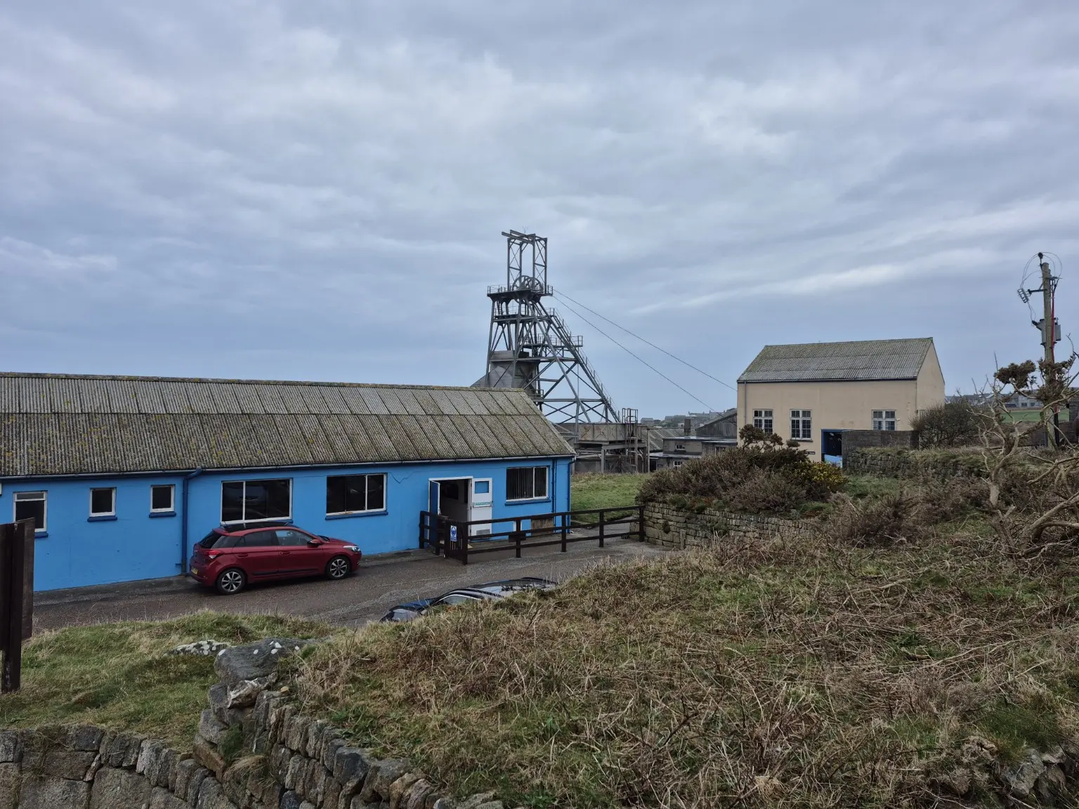
This March 2025 hike began at Geevor Tin Mine before joining the South West Coast Path and heading south through the historic mining landscape of West Cornwall.
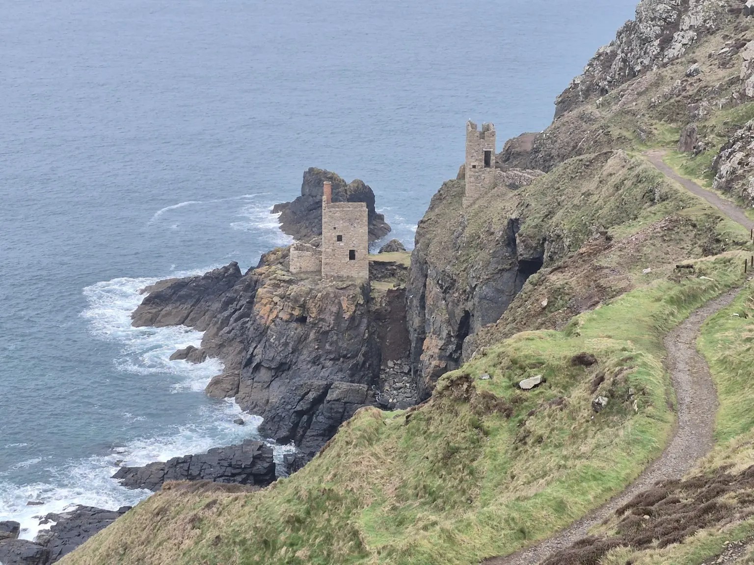
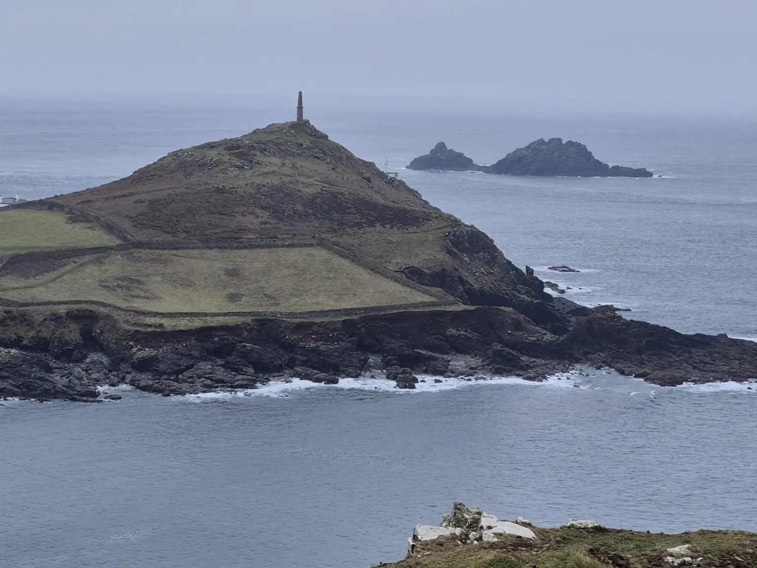
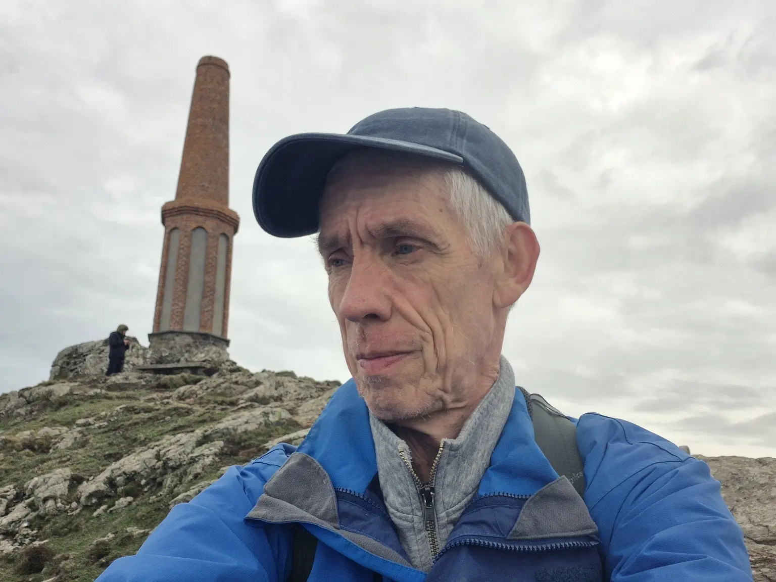
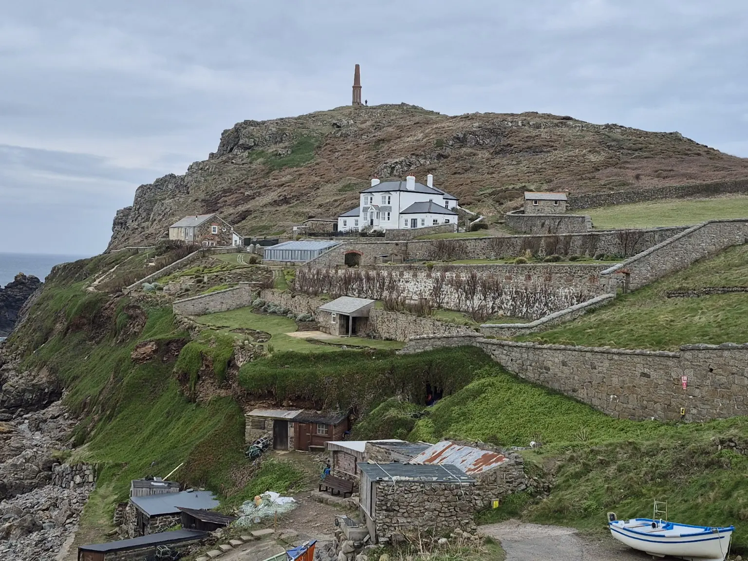
The early miles passed the old engine houses around Botallack, standing dramatically on the cliffs above the Atlantic. From there, the route continued over rugged headlands and rocky paths towards Cape Cornwall, with reminders of Cornwall’s mining past never far away.
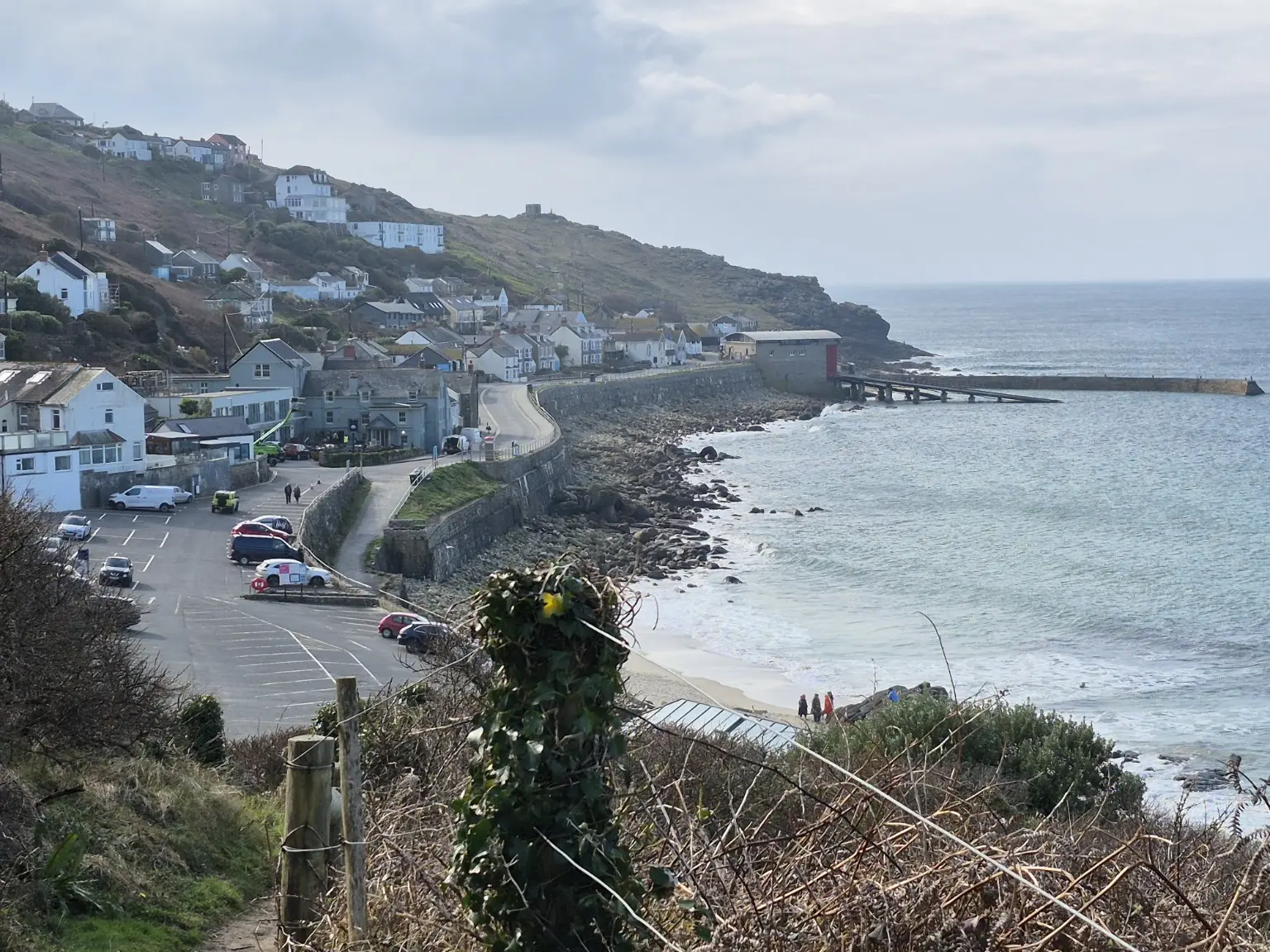
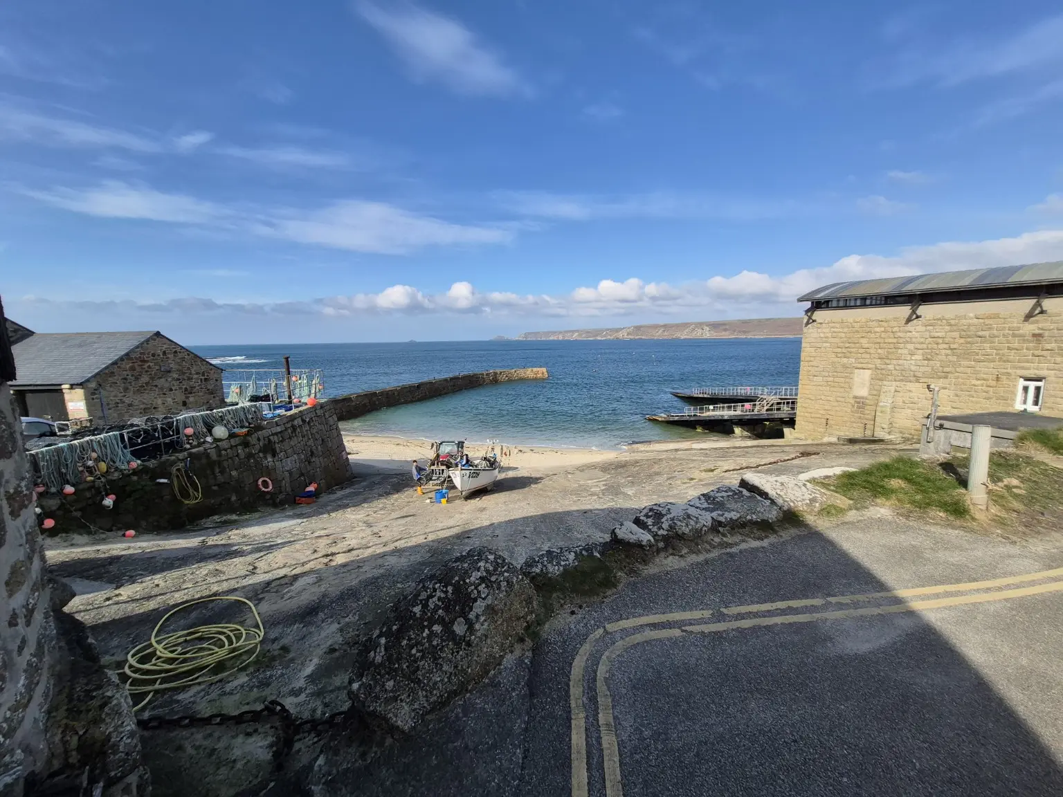
Beyond Cape Cornwall, the path followed the coastline past Porth Nanven and onwards towards Whitesand Bay. The scenery gradually changed from exposed cliffs and old mine workings to sandy coves, small harbours and the welcome sight of Sennen Cove.
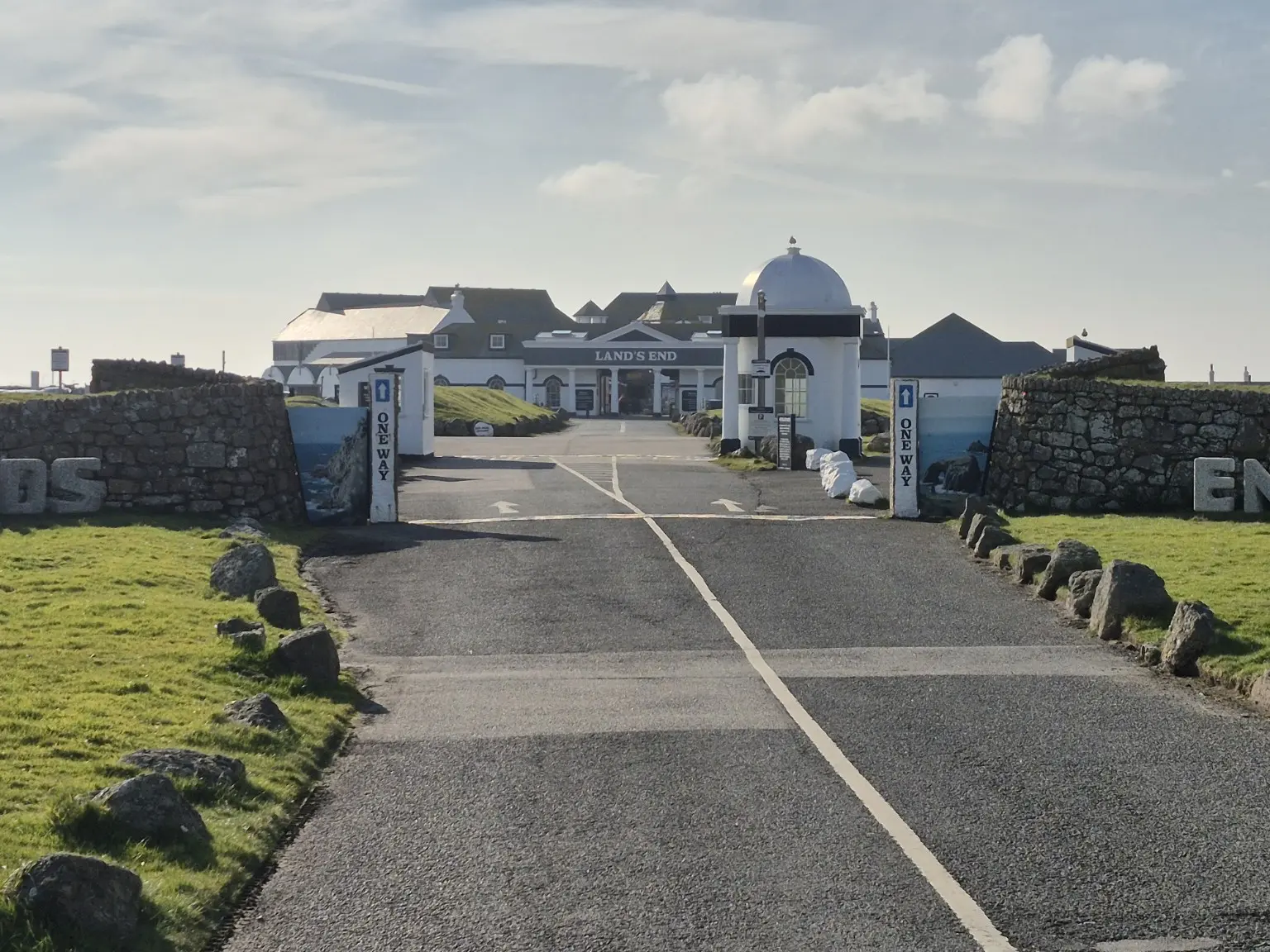
The final section climbed away from Sennen and continued along the coast to Land’s End. After a route filled with industrial history, wild scenery and plenty of Cornish ups and downs, the famous signpost made a very satisfying finishing photograph.
Following the coast south
The route follows the coast path from Geevor and Botallack to Cape Cornwall, Porth Nanven, Sennen Cove and Land’s End.
Practical information
A linear coastal walk through exposed mining country, rocky headlands and seaside villages.
Route
Geevor Tin Mine to Land’s End via Botallack, Cape Cornwall, Porth Nanven, Whitesand Bay and Sennen Cove.
Terrain
Clifftop paths, rocky and uneven ground, repeated climbs and descents, plus easier sections near the villages and coves.
Conditions
The photographs show a largely cloudy start followed by brighter skies and sunshine towards Sennen and Land’s End.
Useful kit
Supportive footwear, waterproofs, warm layers, food, water and reliable navigation for a long, exposed coastal day.
Planning note
This is a linear route, so check current transport arrangements before setting out. Keep away from cliff edges and allow extra time for rough or slippery ground.
The walk in photographs
Engine houses, headlands, fishing coves and the final arrival at Land’s End.

A classic West Cornwall journey
From the industrial remains of Geevor and Botallack to Cape Cornwall, Sennen Cove and one of Britain’s most famous landmarks, this route delivered history and coastal drama in equal measure.
Explore more Coast Path hikesLocation & getting there
Geevor Tin Mine to Land’s End, Cornwall
This map locates the place named above; use the report’s route links to follow the walk.