North Cornwall · Saturday 19 September 2026

Perranporth
to Crantock

A windswept 7.65-mile coastal hike with Adam via Holywell Bay and Porth Joke—complete with dunes, seals and a sensible change of plan at the Gannel.

Distance7.65 miles
StartPerranporth Haven, 10:20am
FinishCrantock Beach
ConditionsOvercast, windy, light drizzle

Hike at a glance

Distance
7.65 miles
Time
Approx. 10:20am–3pm (4 hrs 40 mins)
Parking
Not applicable
Difficulty
Moderate — A 7.65-mile coast walk with soft sand, dunes, undulations and exposed clifftops.
Tea/Pub stop
Various stops along the route.
Map planning
Open OS Maps

Estimated grades based on the full route in clear, dry conditions: Easy — mostly level, straightforward paths; Moderate — some climbs or uneven ground; Hard — sustained effort, steep or rough ground, or remote navigation; Very hard — exceptional distance or repeated steep climbs. Weather, mud, tides and visibility can make a walk much harder.

Details from this walk’s report. Times reflect this outing; check parking and access before travelling.

The full report

Sand, seals and a tidal finish

The original plan was to continue into Newquay, but the tide at the Gannel had other ideas.

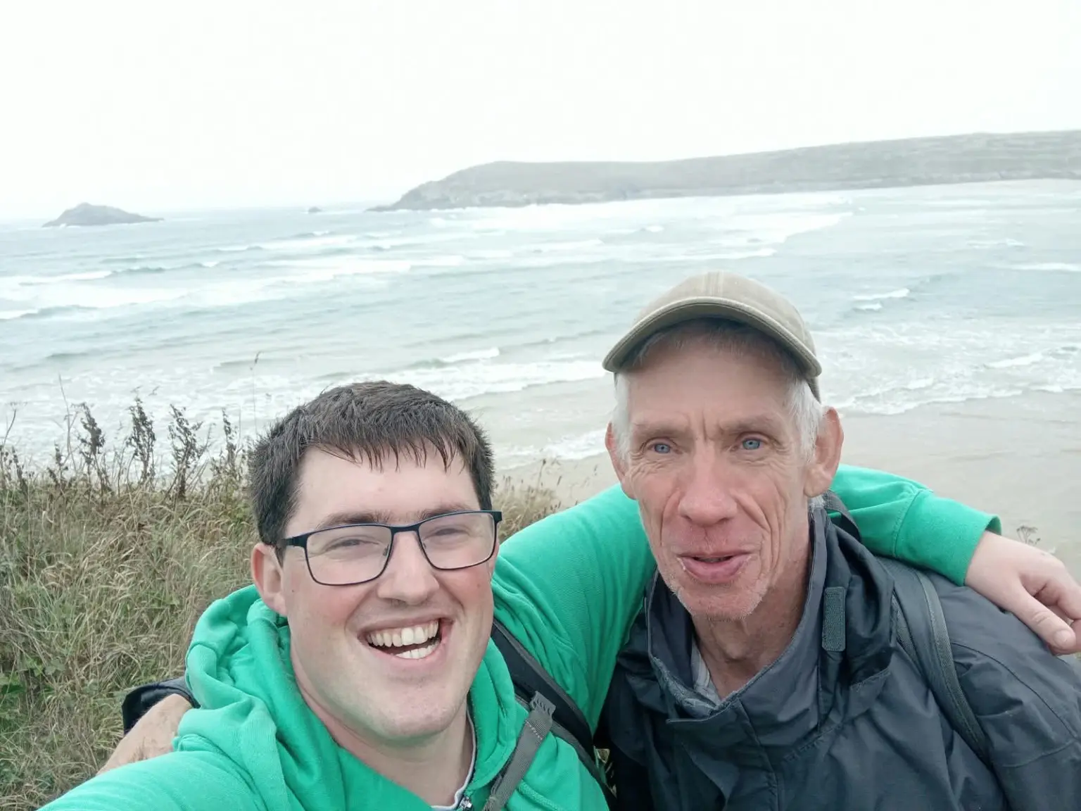
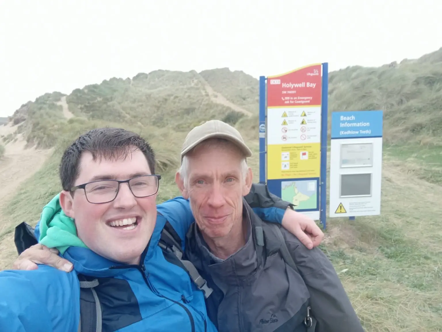
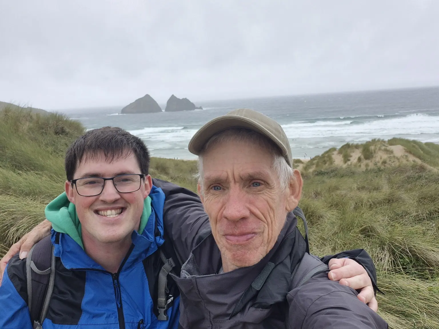
Adam and I set off from Perranporth Haven Holiday Park at 10:20am, beginning with an energetic battle through sand and dunes before joining the South West Coast Path.

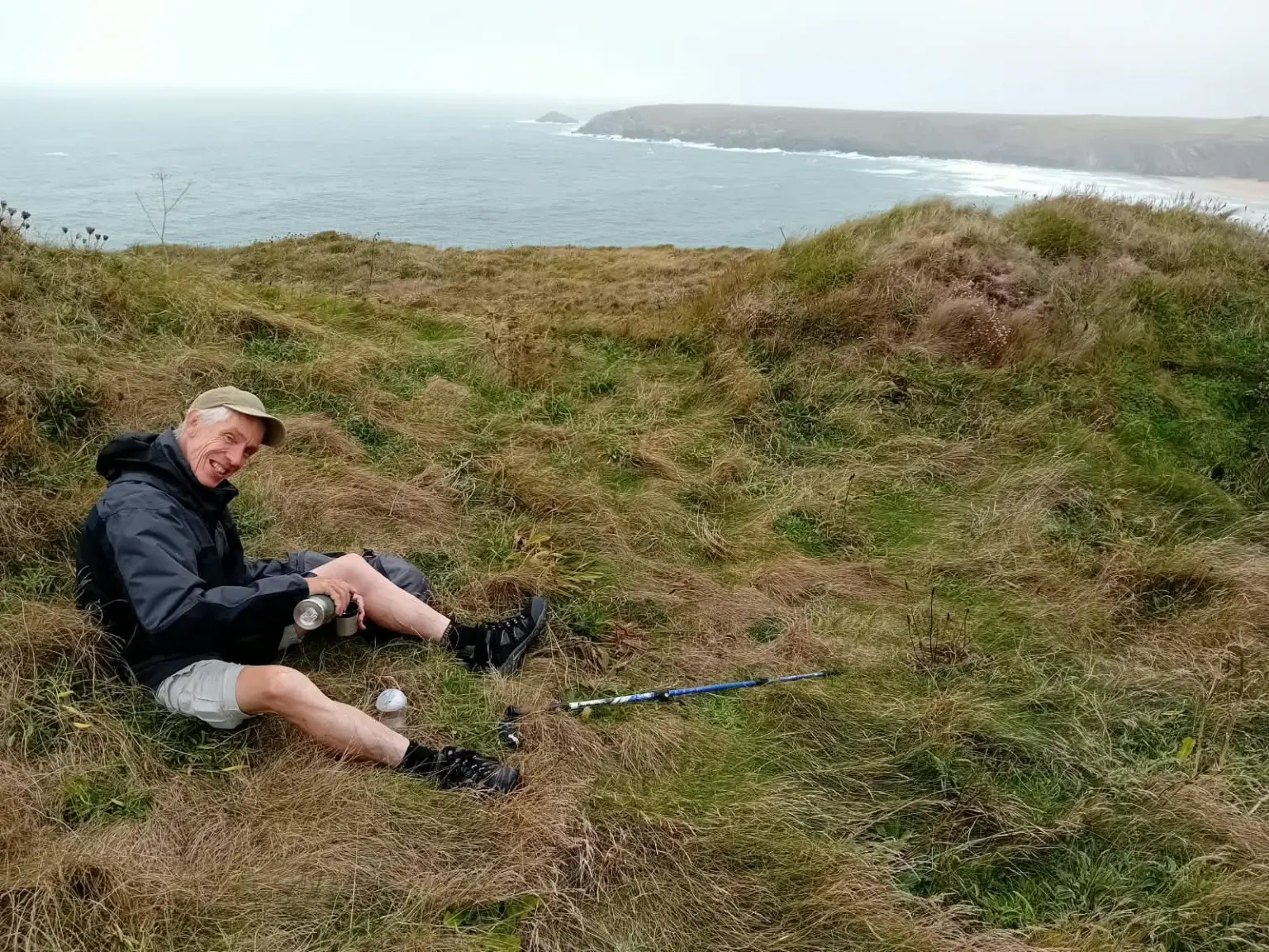
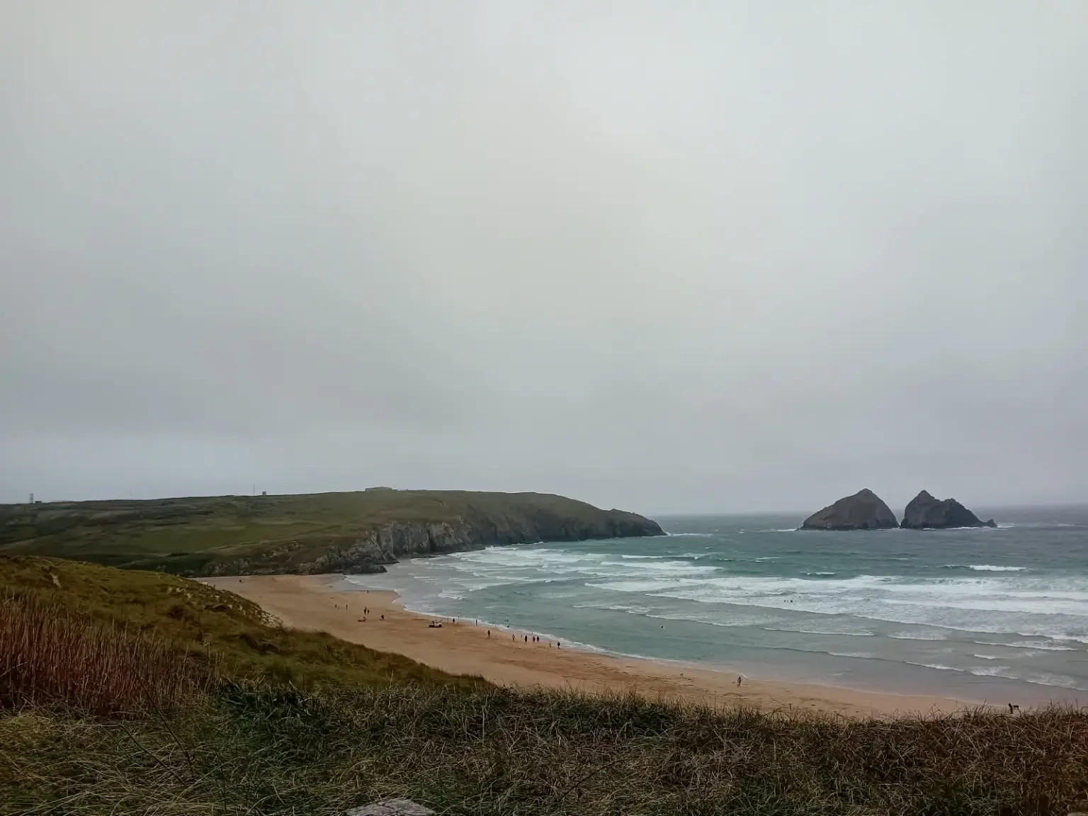
After passing the disused military camp, we found a sheltered spot away from the strong wind and stopped for a welcome cup of tea and something to eat. Twenty minutes later, suitably refreshed, we continued towards Holywell Bay—where, naturally, even more sand and dunes were waiting for us.

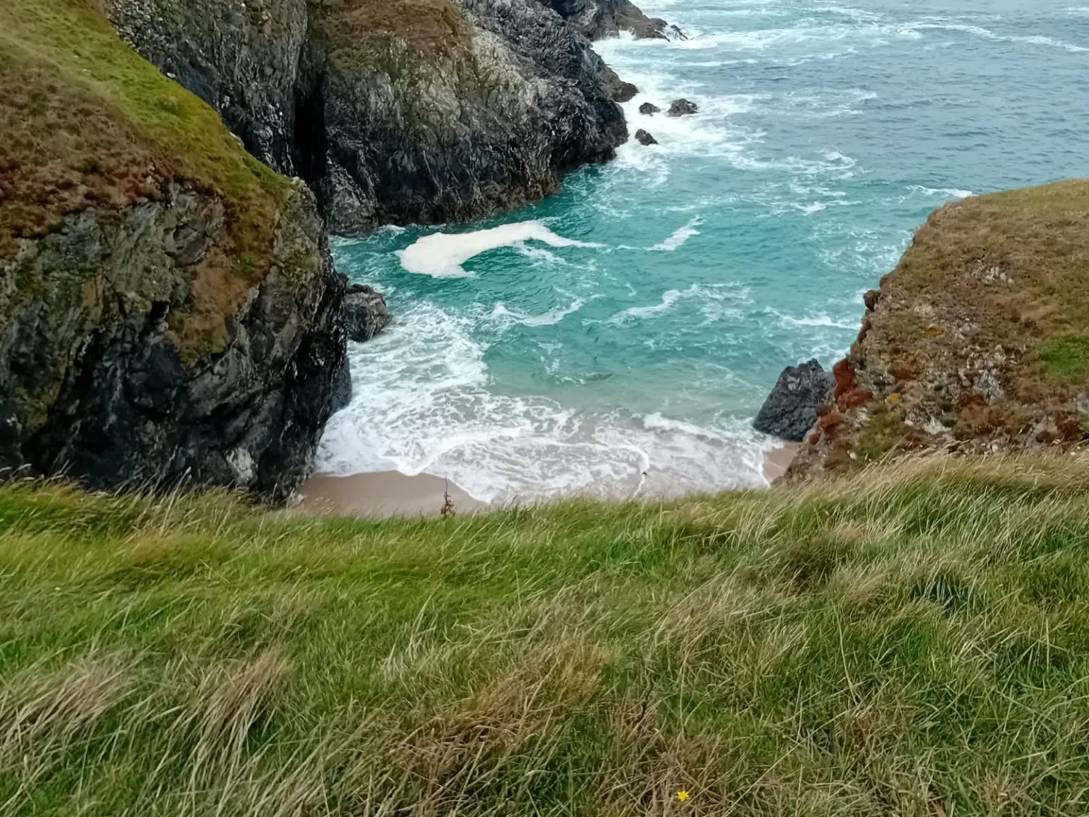
Following a short break at Holywell, we carried on towards Porth Joke, better known locally as Polly Joke. With the beach almost within touching distance, we were hopeful of seeing seals. For once, nature followed the script: we spotted three—one resting on the beach and two swimming in the sea.

The planned finish was Newquay, but high water at the Gannel made the crossing unsafe. Crantock Beach therefore became the finish line—a shorter hike, but unquestionably the right decision.

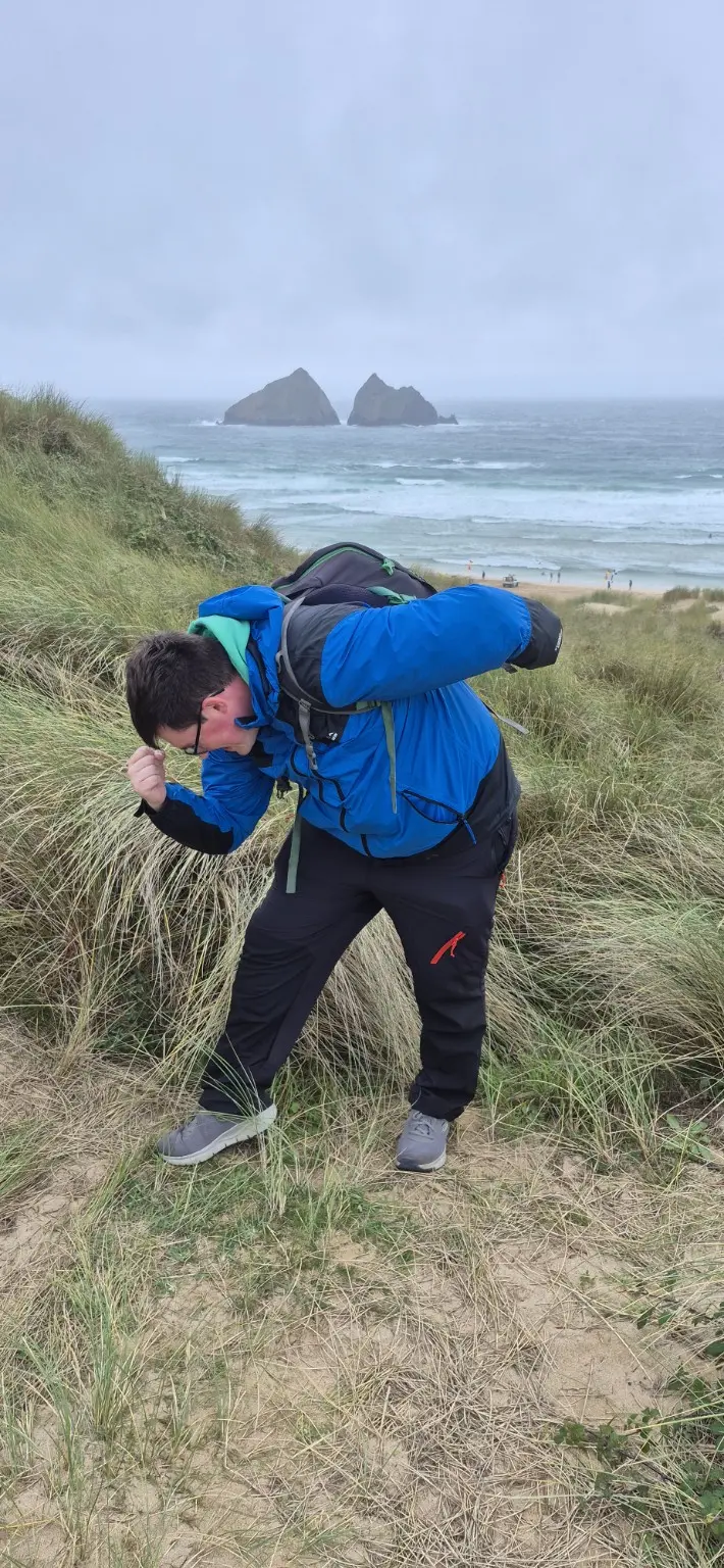
Despite the grey skies, occasional spots of drizzle and persistent wind, this was an enjoyable and straightforward coastal walk. The route offered excellent scenery throughout, varied terrain and the unexpected bonus of three seals.

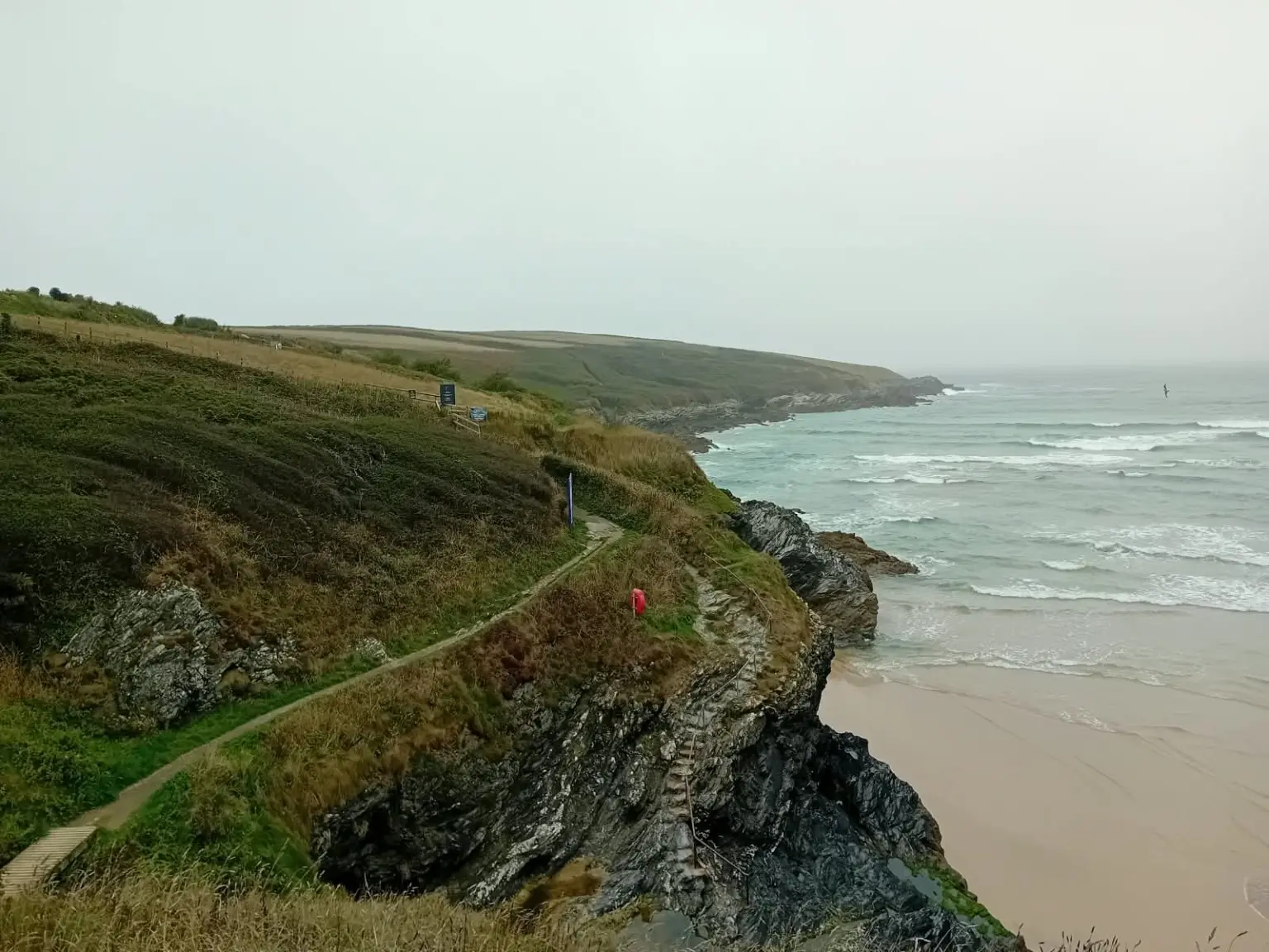
The only significant caution was around Holywell Bay, where recent rockfall and coastal erosion were a reminder that this beautiful coastline is constantly changing. A little extra care—and respect for closures and warning signs—is essential.
Plan the walk

Practical information

A moderate one-way coastal walk with several sandy sections and a tidal ending.

Route

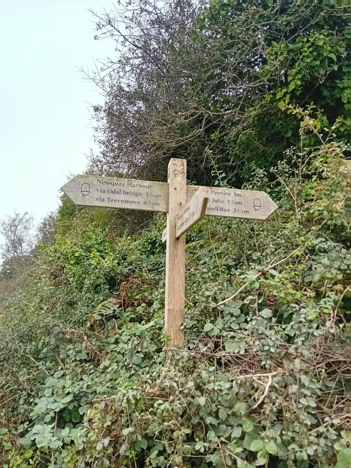
Perranporth Haven via the coast path, the former military camp, Holywell Bay, Porth Joke and Crantock Beach.

Terrain

Mainly defined coast path, with repeated stretches of soft sand and dunes. Expect exposed clifftops, undulations and some narrow sections.

Tides and transport

The Gannel crossing is tidal and may be impassable. Check tide times and crossing advice before relying on a route into Newquay, and have an alternative finish planned.

Useful kit

Grippy footwear, windproof and waterproof layers, food, water, offline mapping and current public-transport information for the return journey.

Coastal safety

Be alert for erosion and rockfall, particularly around Holywell Bay. Obey warning signs, stay back from cliff edges and never attempt a flooded tidal crossing.

Crantock reached

A shorter finish, but the right one

Superb coastal scenery, three seals and enough sand to remind the legs that “easy” is always a relative term on the coast path.

Explore more Coast Path hikes

Location & getting there

Perranporth to Crantock, Cornwall

Find Perranporth on a map

This map locates the place named above; use the report’s route links to follow the walk.