South Devon · Tuesday 7 July 2026

South Milton Sands
to Salcombe

Coastal heat, endless views and great company—with a spontaneous change of plan that left one fairly important question unanswered.

DistanceApproximately 13 miles
Elapsed timeAbout 7½ hours
CompanyMy old mate Age
ConditionsDry, sunny and very warm

Hike at a glance

Distance
Approximately 13 miles
Time
About 7½ hours
Parking
South Milton Sands car park
Difficulty
Hard — Thirteen miles with repeated coastal climbs, exposed cliffs and roughly four road miles on the return.
Tea/Pub stop
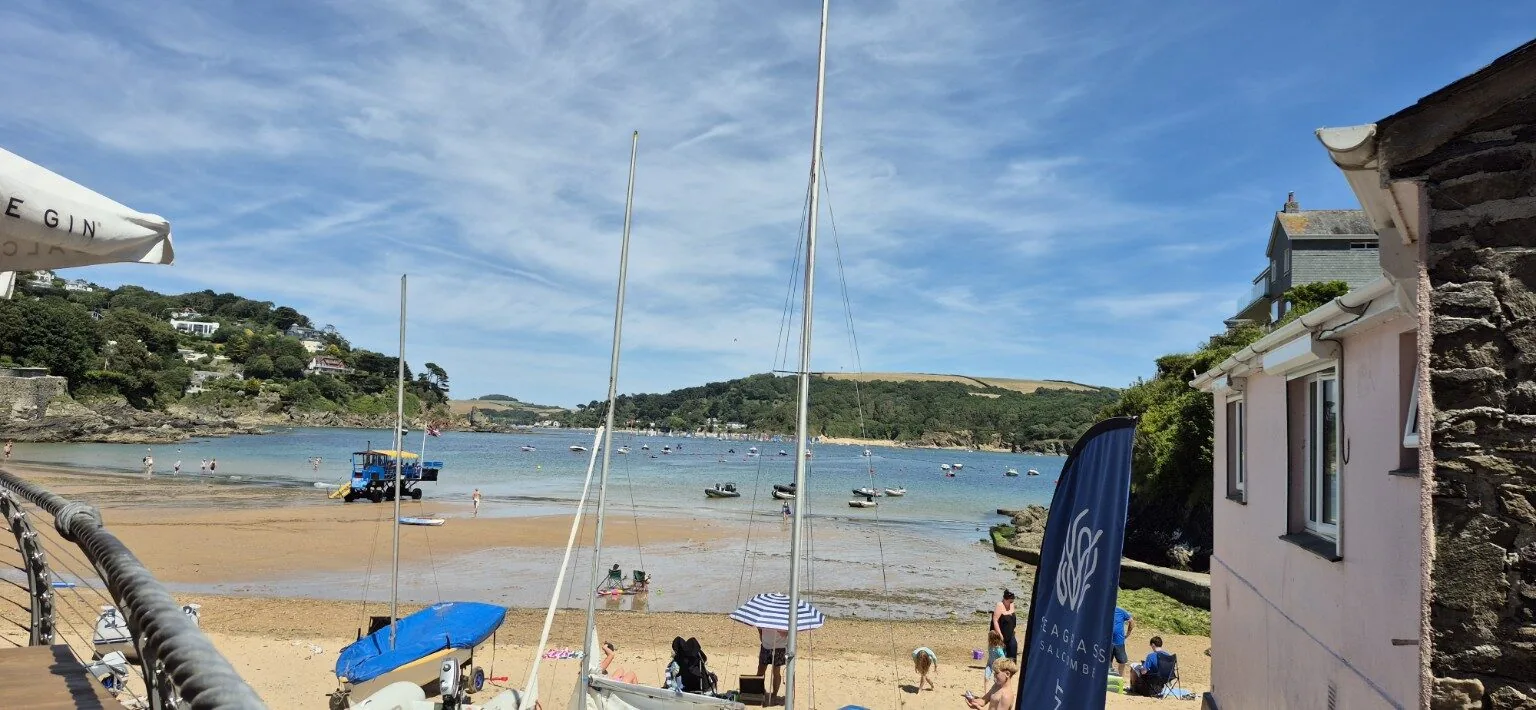
A bar overlooking Salcombe estuary (not named).
Map planning
Open OS Maps

Estimated grades based on the full route in clear, dry conditions: Easy — mostly level, straightforward paths; Moderate — some climbs or uneven ground; Hard — sustained effort, steep or rough ground, or remote navigation; Very hard — exceptional distance or repeated steep climbs. Weather, mud, tides and visibility can make a walk much harder.

Details from this walk’s report. Times reflect this outing; check parking and access before travelling.

The full report

A sensible plan meets the call of Salcombe

We began with sunshine, sea views and a perfectly reasonable circular route. Naturally, that was never going to last.

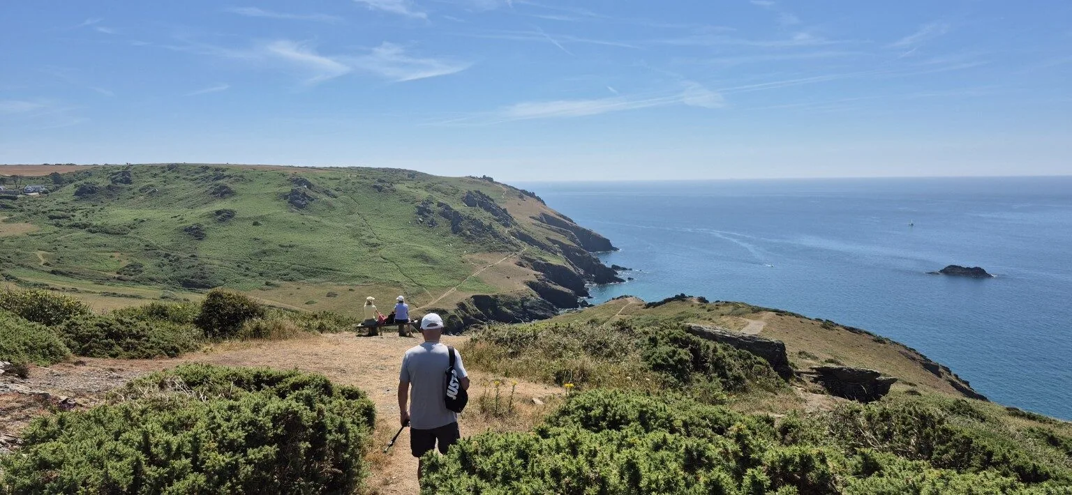
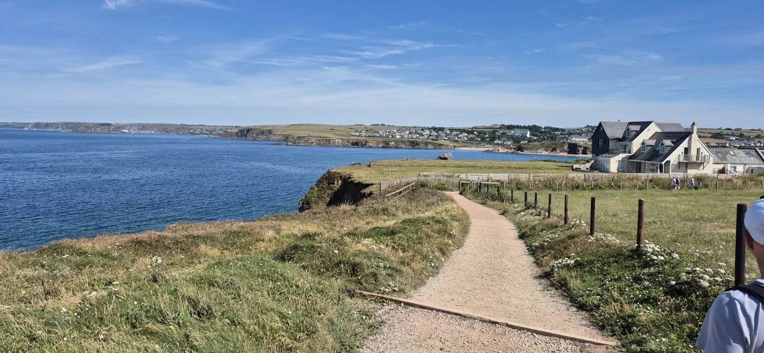
With my old mate Age, we set off from South Milton Sands car park just after 10am, ready to tackle the South Devon coast in glorious sunshine. It didn't take long for the warm weather to remind us that we weren't quite as young as we used to be, so by the time we reached Hope Cove, a strategic stop for a generous coating of suncream was already essential.

With beautiful views across Hope Cove, we continued on towards Bolt Tail, home to the remains of an Iron Age fort. Whether the ancient inhabitants had to contend with temperatures like this is anyone's guess, but they certainly picked a spectacular spot.

The heat was relentless, with barely a whisper of a sea breeze, so plenty of short hydration breaks became the order of the day. Fortunately, every pause came with another breathtaking coastal view to admire.

The original plan had been to head inland towards Bantham Beach and complete a sensible circular route. However, my old friend Age had other ideas and suggested we carry on to Salcombe instead. It sounded like a brilliant idea at the time... although neither of us had actually discussed how we were going to get back!

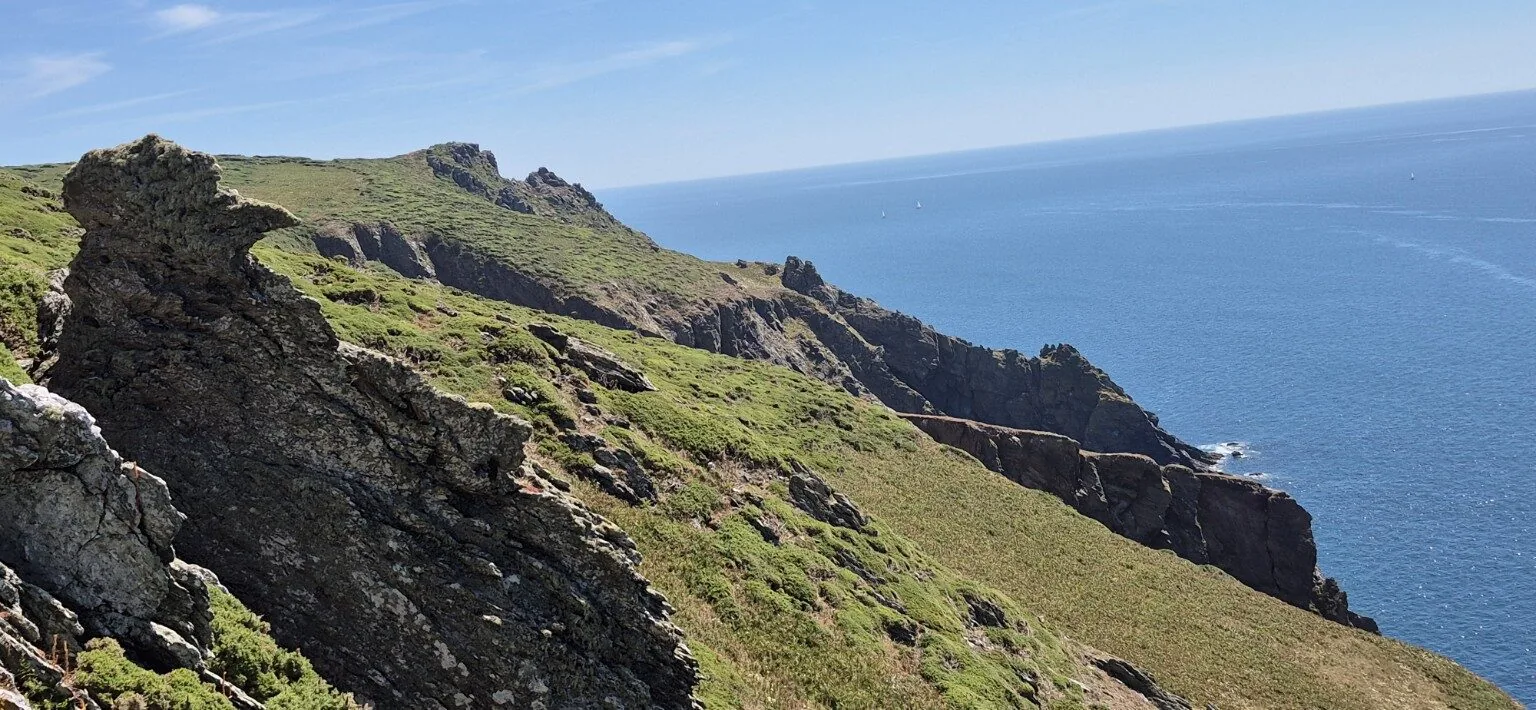
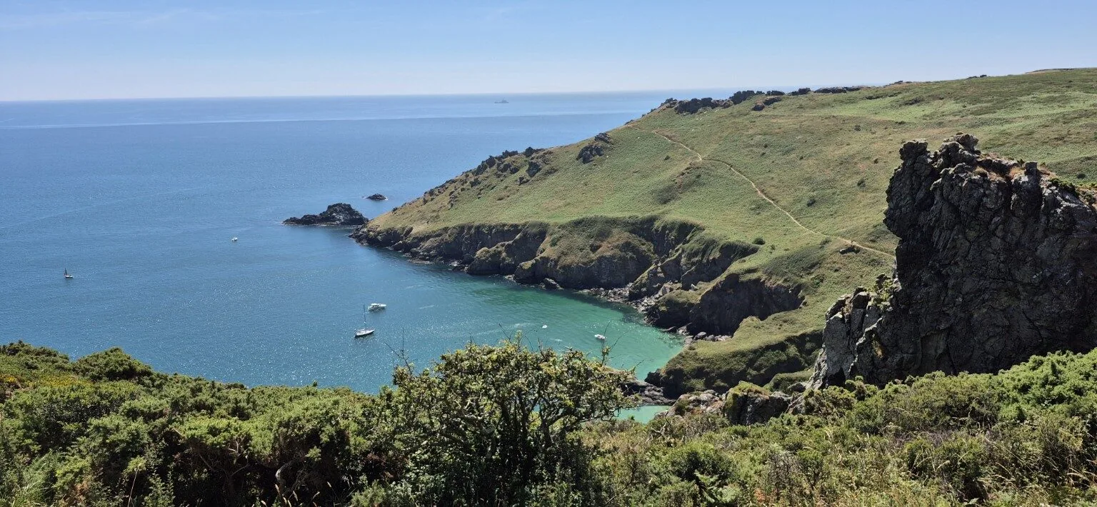
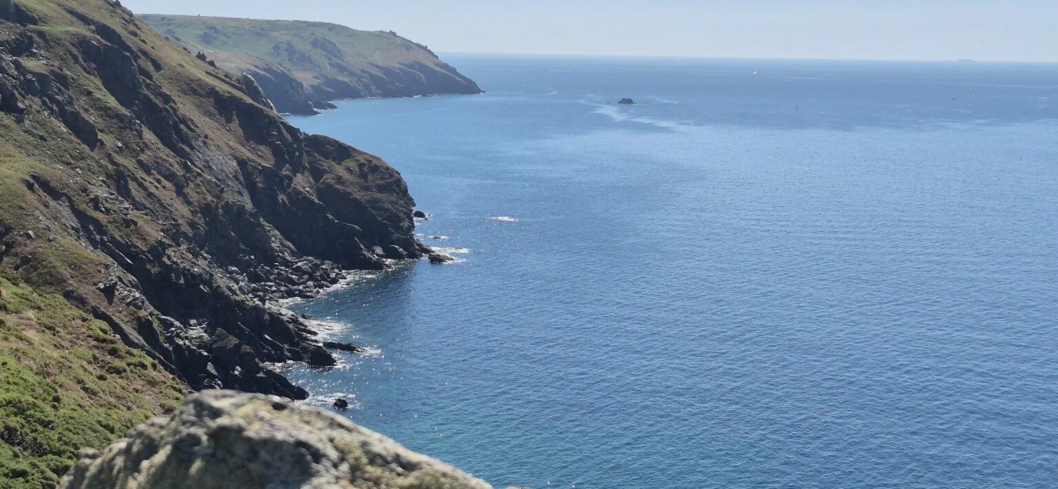
The coastline between Bolt Tail and Salcombe is simply stunning, with dramatic cliffs, jagged rock formations and endless sea views making every step worthwhile.

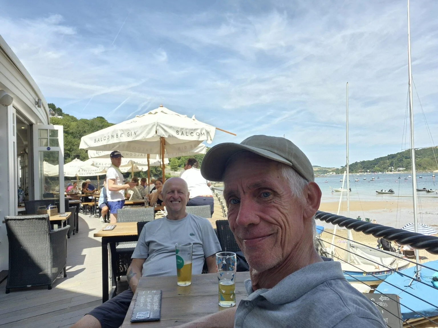
On reaching Salcombe, our priorities quickly changed. The nearest bar was calling, and a cold beer overlooking the estuary tasted every bit as good as we'd imagined. It was only then that I casually asked, “So... how exactly are we getting back to the car?”

The answer wasn't ideal. The bus only ran every two hours and the journey would take around 90 minutes. After some questionable mathematical calculations—helped by the beer—we decided the quickest option was to walk back via Malborough and Galmpton.

After a 20-minute rest, we swapped spectacular coastal paths for around four miles of sun-baked country lanes before finally arriving back at South Milton Sands at around 5:30pm.

A fantastic 13-mile adventure with glorious weather, unforgettable scenery, plenty of laughs... and yet another reminder that spontaneous plans are always more enjoyable when you've actually worked out how you're getting home!
Route highlights

Cliffs, coves and a well-earned beer

The South West Coast Path delivered magnificent scenery all the way from Hope Cove towards Salcombe.

Hope Cove & Bolt TailWonderful views and the remains of an Iron Age fort above the sea.
Coast to SalcombeDramatic cliffs, jagged rocks and mile after mile of blue water.
The improvised returnMalborough and Galmpton by hot country lane once the bus arithmetic failed.
Recorded route

The coast out, country lanes back

Follow our coastal route from South Milton Sands past Hope Cove and Bolt Tail to Salcombe, followed by the improvised inland return through Malborough and Galmpton.

View the route on COROS

South Milton SandsHope CoveBolt TailSalcombeMalboroughGalmpton
Plan the walk

Practical information

A long coastal circuit with a hot inland return.

Distance and time

Approximately 13 miles and about 7½ hours, returning to South Milton Sands at around 5.30pm.

Route and terrain

South Milton Sands, Hope Cove, Bolt Tail and the coast path towards Salcombe, returning by country lanes through Malborough and Galmpton.

Conditions and difficulty

Hard in hot, sunny conditions, with exposed cliffs, repeated coastal climbs and roughly four road miles on the return.

Useful kit

Grippy footwear, sun hat and cream, plenty of water, food, light layers, waterproof, offline mapping and money for refreshments or transport.

Travel note

Check the return bus before setting off. Services may be infrequent, and relying on an unplanned road walk can add several hot miles at the end of the day.

Back at South Milton Sands

Thirteen miles and one lesson learned

The spontaneous extension to Salcombe made a brilliant day even better. Next time, though, we might work out the return journey before ordering the beer.

Explore more hikes

Location & getting there

South Milton Sands to Salcombe, Devon

Parking & travel: South Milton Sands car park

Find South Milton Sands car park on a map

This map locates the place named above; use the report’s route links to follow the walk.