Helvellyn from Legburthwaite – 11.58-Mile Circular Walk
Five days in the Lakes—and Helvellyn completed on 4 November. An 11.58-mile mountain day with stunning early views, summit gloom and a very long walk back to the car.
This page is the home for our Lake District holiday: the plans before we go, short updates and favourite photographs as I add them, and the completed Helvellyn report below. All the holiday updates and the hike report will be here on my website.
There’s something to look forward to beyond the usual routine: a change of scenery, time to slow down and the prospect of getting the boots muddy somewhere different. The waterproofs will be coming too. They rarely miss a holiday with me.
Helvellyn: Stunning Views, Summit Gloom and a Complaint from My Knees
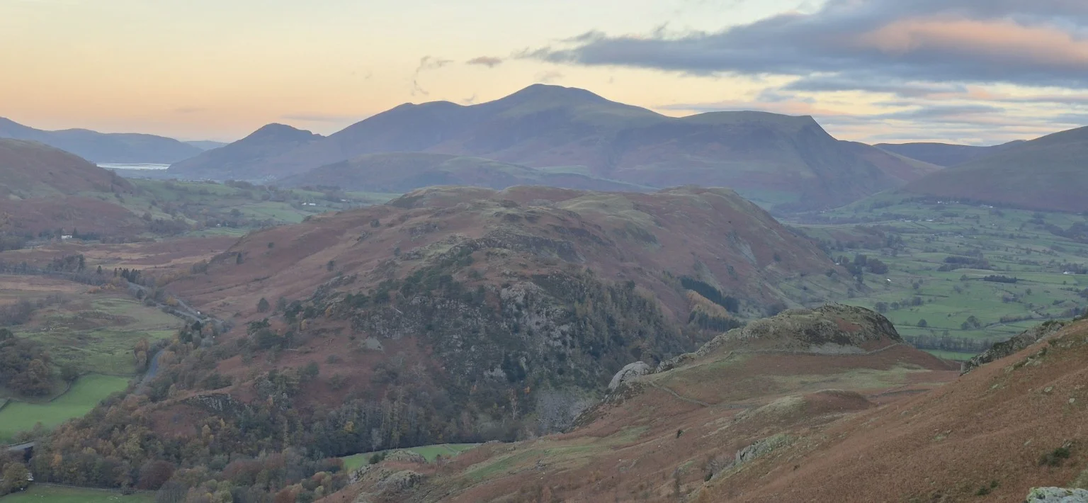
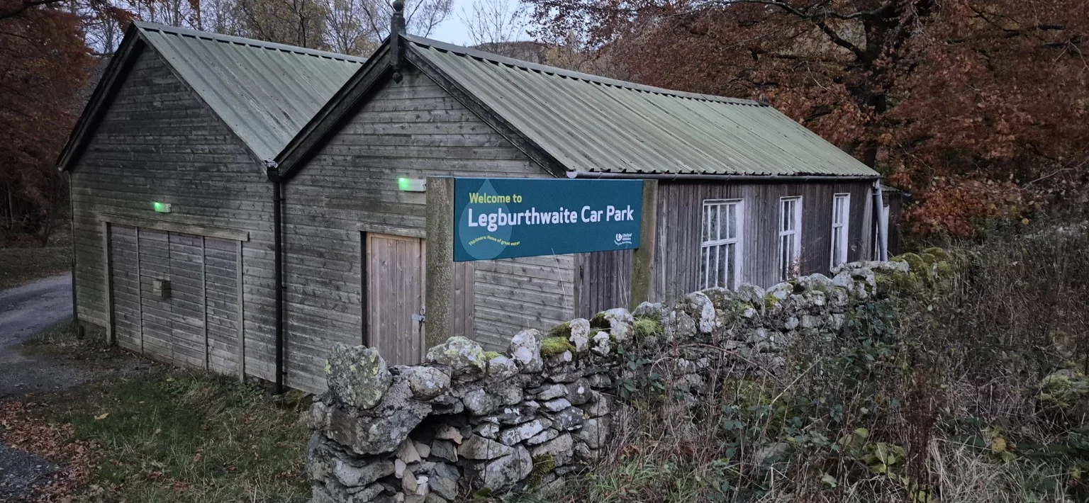
Helvellyn from Legburthwaite: 11.58 miles in Lake District. The report grades this walk very hard. Parking and travel: Legburthwaite car park (paid parking). What3words: ///armrest.documents.overruns. Refreshments on this outing: My own tea, chocolate bars and food carried on the walk.
Recorded route & GPX
My recorded route from 4 November 2026: 11.58 miles (18.63 km). The GPS track runs from 6:55:57am to 1:57:44pm, giving 7 hours 1 minute 47 seconds elapsed, including stops. My approximate finish time in the story is 2pm.
This is the route I walked, rather than the planning screenshot below. Check conditions and use a suitable map alongside the GPX.
The walk at a glance
- Date
- 4 November 2026
- Distance
- 11.58 miles
- Route type
- Circular
- Start / finish
- 6.55am / 2pm
- Summit reached
- 10.05am
- Total time
- 7 hours 5 minutes, including breaks
- Difficulty
- Very difficult, with sustained steep climbs, demanding descents and slippery stone paths.
- Parking
- Legburthwaite car park (paid parking). What3words: ///armrest.documents.overruns
- Refreshments
- My own tea, chocolate bars and food carried on the walk.
- Weather
- Sunshine at the start, strengthening wind and falling temperatures higher up, then low cloud and a very cold summit. Light drizzle during the descent gave way to sunshine, with milder conditions lower down.
I left camp just after 5.30am, arriving at Legburthwaite car park at 6.45am. After putting on my hiking gear and paying for parking, I set off at 6.55am, ready for a memorable day in the mountains. My knees, unfortunately, had not been consulted.
A short walk along the road brought me to a left turn—and what can only be described as the climb from hell.
There was no gentle introduction. For roughly the first mile, the route climbed relentlessly over a mixture of stones, grass and gravel. I stopped several times to catch my breath, and at one point felt decidedly rough: dizzy, weak and with legs resembling jelly.
Skipping breakfast certainly hadn’t helped. A couple of chocolate bars and a cup of tea halfway up seemed to settle things, and by the time I reached Sticks Pass, I felt much better. A lesson for next time: breakfast before boots.
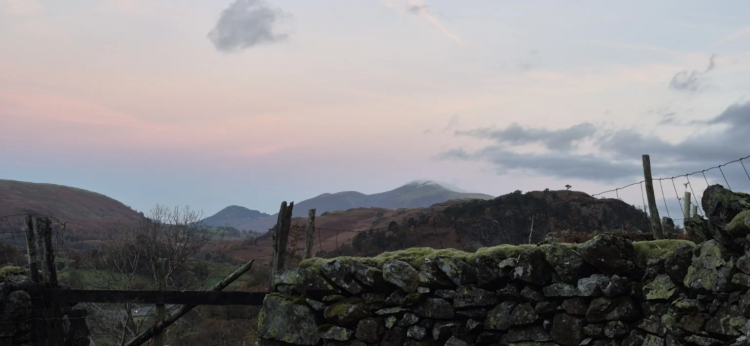
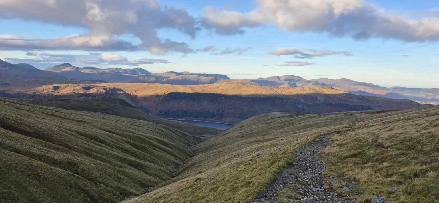
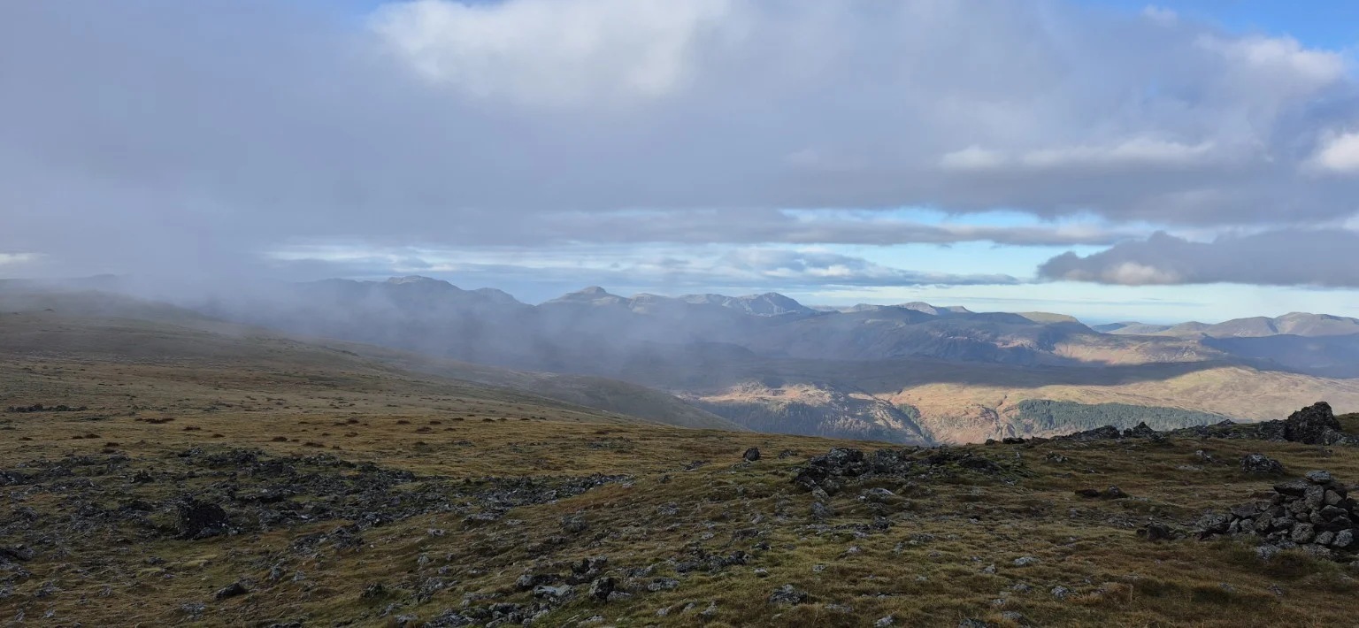
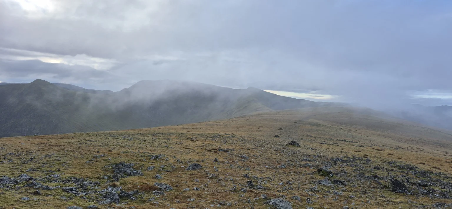
The views were already stunning. Sunshine broke through the clouds while low mist raced across the hilltops, constantly changing the landscape. Higher up, at around 2,792 feet, the wind had strengthened and the temperature had noticeably dropped.
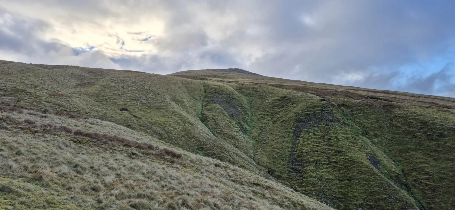
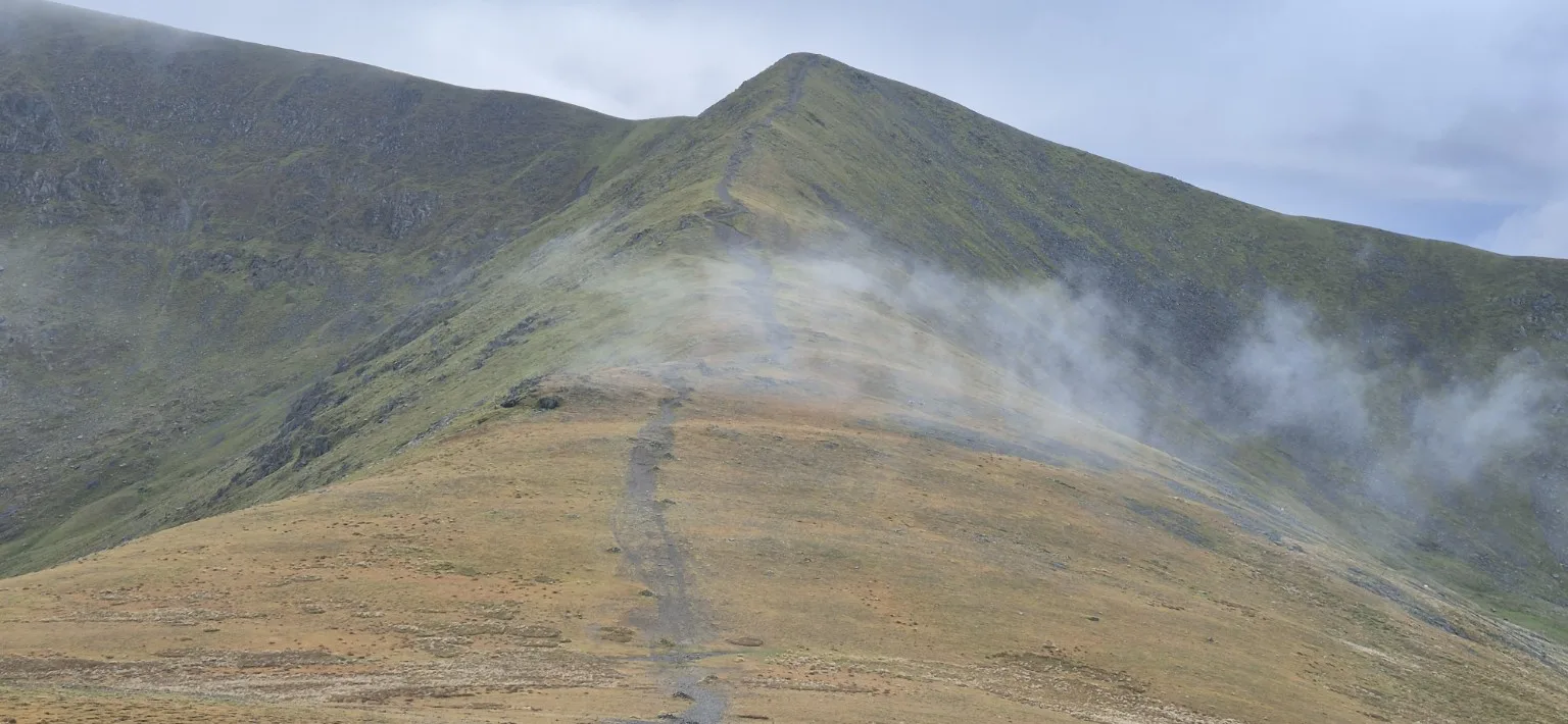
Ahead lay another demanding climb above Keppel Cove. The gravel path became progressively steeper, eventually giving way to a rocky final section that demanded rather more effort than my legs would have liked. By the top, I was around 3,000 feet up.
Looking to my right, I spotted someone making their way along a narrow ridge in the strong wind and drifting cloud. Rather them than me. I was quite happy with the amount of mountain underneath my own feet.
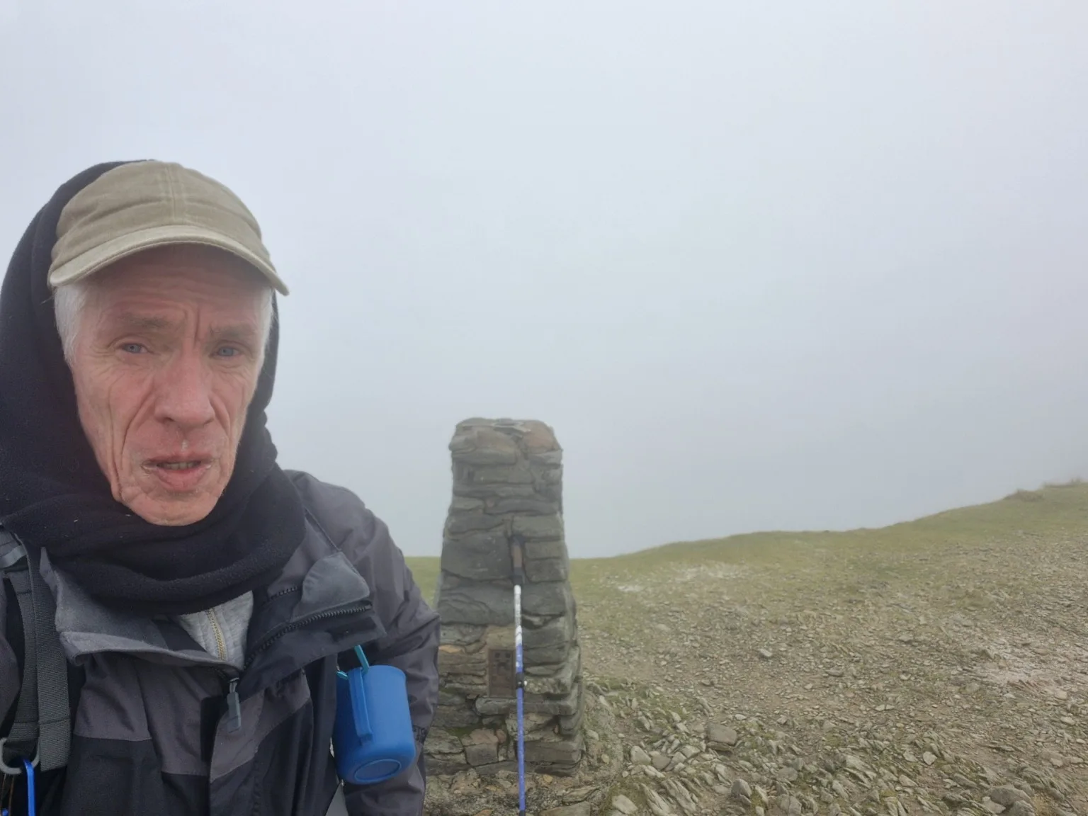
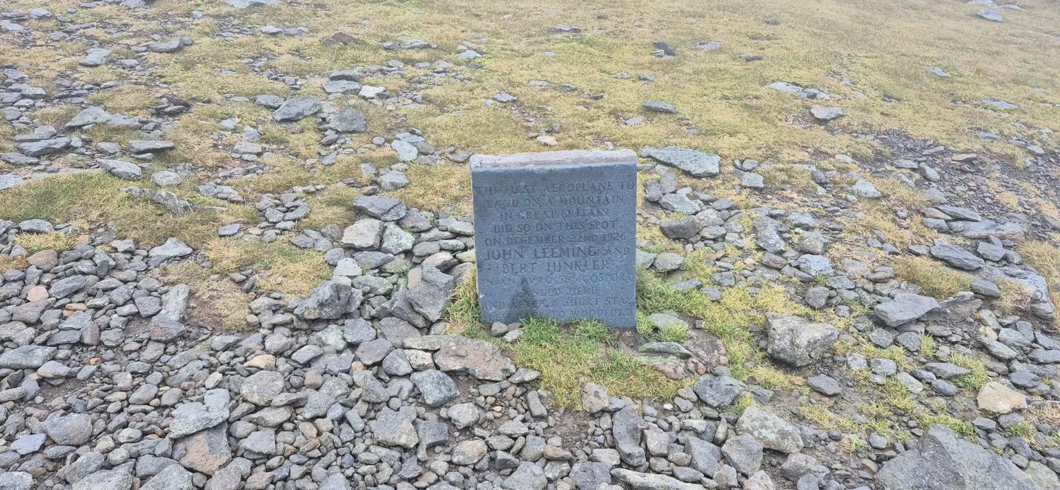
Next stop: Helvellyn summit. As I approached, the cloud lowered and visibility steadily deteriorated. At 10.05am, I reached the summit—3,169 feet above sea level on my reading.
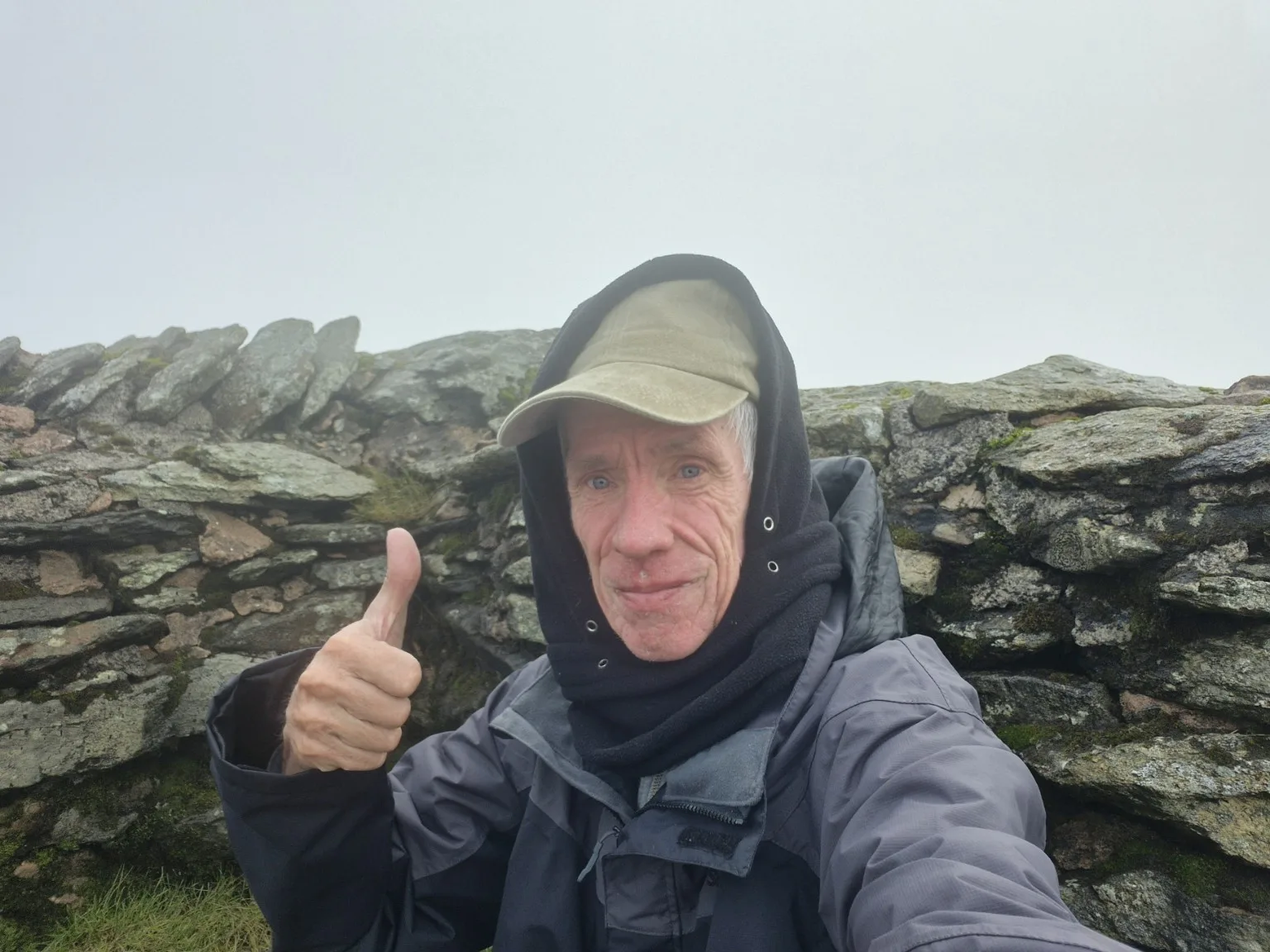
Helvellyn conquered! The panoramic views, however, had taken the day off.
Instead, I was greeted by thick cloud and a strong, bitterly cold wind. I found some shelter and settled down with a hot cup of tea and something to eat, admiring what must have been one of the Lake District’s finest collections of grey.
A fellow walker emerged from the gloom and joined me. We got chatting and discovered that he was originally from Cornwall but had moved to the Lakes two years earlier. A small world, even when you can barely see any of it.
After around 25 minutes of conversation and enthusiastic appreciation of the invisible scenery, it was time to descend.
The long, winding path soon gave my knees plenty to complain about. Soil and gravel gave way to stretches of flat stone, which had become slippery in the light drizzle. Progress required care, and every downward step seemed to remind me of the climb that had brought me here.
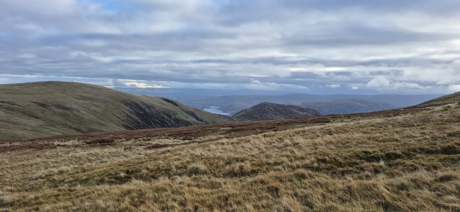
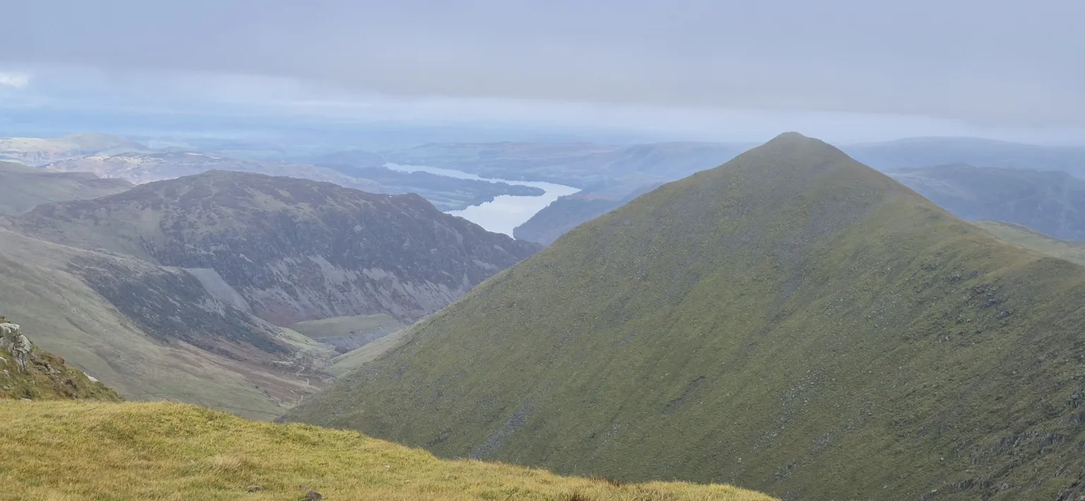
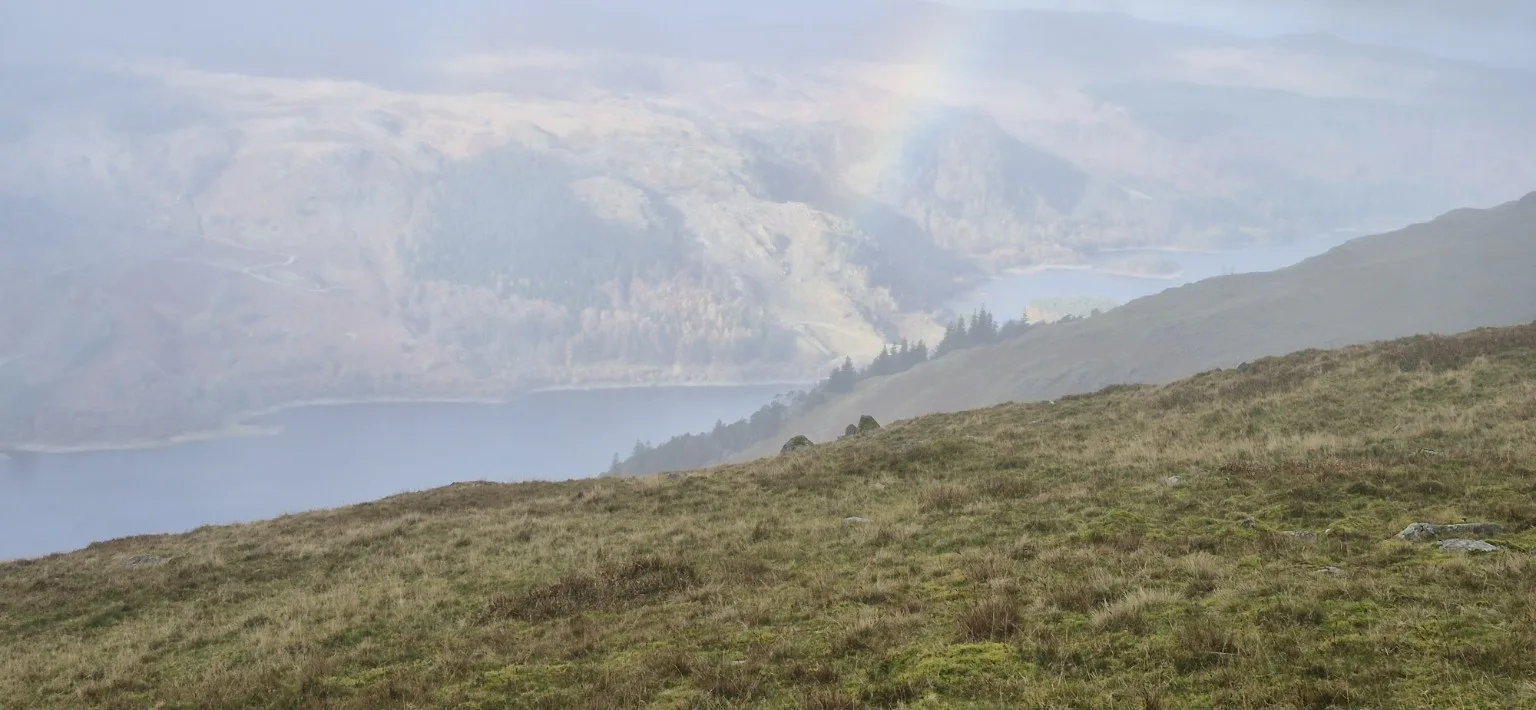
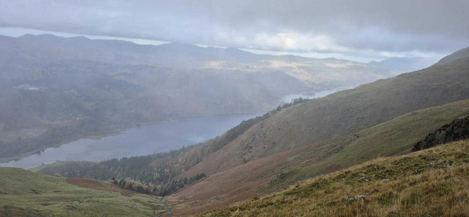
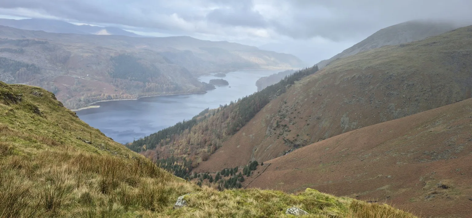
Then, after losing roughly 1,000 feet of height, the cloud lifted and Thirlmere Reservoir appeared below. Wow.
Sunshine, drifting low cloud and the water below combined to create an extraordinary view. After the summit’s wall of grey, this felt like the mountain finally revealing what it had been hiding.
The descent continued for a good hour before I reached the woods and, at last, some level ground. My knees were grateful, although they were clearly considering lodging a formal complaint.
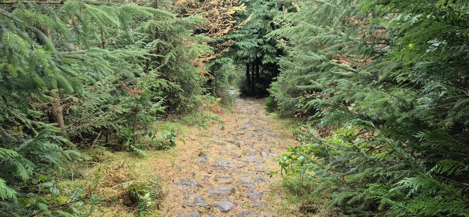
From there, the return to the car became a lengthy woodland walk. Pleasant enough, but after the drama of the higher slopes, roughly 4.5 miles of trees and paths began to feel rather repetitive. Trees, path, more trees, another path… I was becoming exceptionally familiar with the woodland theme.
Just when I thought the climbing was finally over, the route produced one last uphill stretch through narrow, root-covered paths and shrubbery. A thoughtful little farewell gift from the mountain.
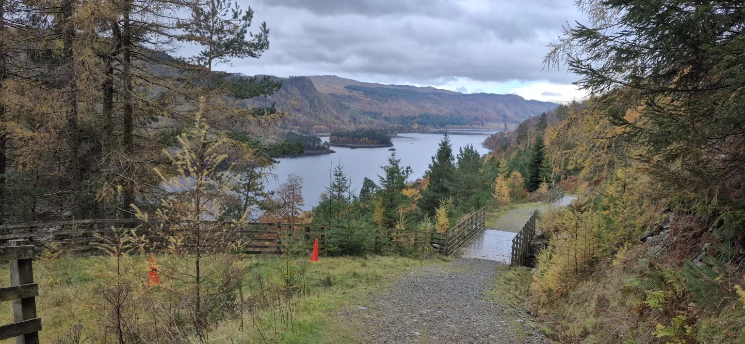
Finally, with about 500 yards remaining, I crossed the road, went over a bridge and reached the car at 2pm. 11.58 miles completed—and every one of them earned.
This was a very difficult hike, with punishing climbs, steep descents and slippery sections underfoot. The summit views may have been missing, but the changing skies, dramatic scenery and magnificent glimpse of Thirlmere made it a day to remember.
Next time, I’ll bring the same enthusiasm—and eat breakfast first.
Watch: Helvellyn in 76 seconds
From changing skies on the climb to summit cloud and Thirlmere on the descent, with gentle instrumental music.
Photographs from the walk
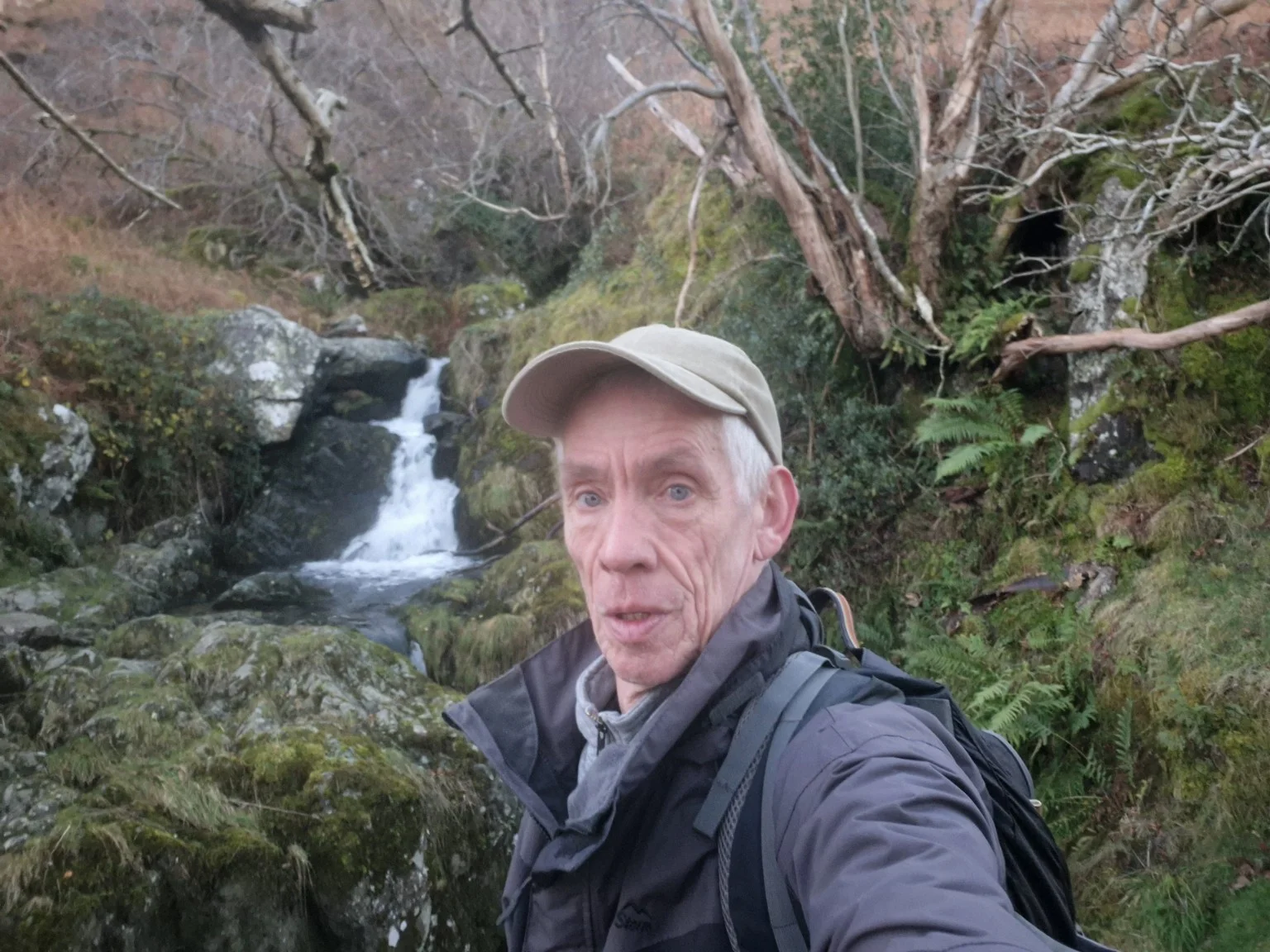
Twenty photographs from the early climb, summit and descent.

Have you climbed Helvellyn?
Did you get the summit views, or the deluxe grey-cloud experience?
Leave a comment about this walkHoliday updates & photographs
Watch: driving through Hardknott Pass
A one-minute look at the winding mountain road and dramatic scenery from our Lake District day out.
Download the clip (MP4) · Read the day’s story and see the photographs →
The countdown is on
We’re getting ready for five days in the Lake District. Wednesday is set aside for Helvellyn, with the final decision depending on the mountain forecast and conditions. The waterproofs, camera and walking boots will be coming along.
I’ll add holiday notes and favourite photographs here as the trip unfolds. For now, the adventure is still ahead of us.
The original plan — before the walk
- Holiday: 2–6 November 2026.
- Hiking day: Wednesday 4 November 2026.
- Start: Legburthwaite car park at 7:30am.
- Destination: Helvellyn.
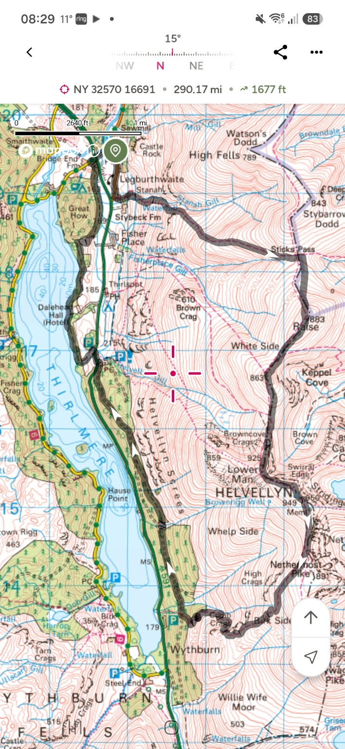
- Planned route: a circular walk via Sticks Pass, Raise, White Side and Helvellyn, descending towards Wythburn and returning along the Thirlmere side of the valley to Legburthwaite.
- Planned distance: approximately 11 miles (TBC on the day).
Weather-dependent plan: In the event of a sudden change in the weather, this hike may change at short notice. I’ll check the mountain forecast and conditions before setting off and adjust the route or date if necessary.
Before the walk: the route I planned
I’m planning an early start from Legburthwaite car park at 7:30am on Wednesday 4 November. Helvellyn is the destination for my Lake District hiking day, with the circular route shown below as my current plan.
Letting the weather have its say
The plan is subject to the mountain forecast and conditions on the day. A sudden weather change could mean a different route, a different day or postponing the summit walk at short notice. I’ll keep an eye on daylight and change the plan if needed.
Striding Edge remains a separate summer ambition; this November plan follows the route shown on the map.
I’ll carry my full kit list, including a headtorch, power bank and OS map, and check MWIS and the Met Office mountain forecast the night before.
A return to the Lakes
The Lake District already has a place in my hiking story. In 2019 I took on a 26-mile challenge for Macmillan. This visit will have a different feel: a holiday, a chance to explore, and one day devoted to walking.
You can read about that earlier adventure in my 2019 Lake District 26-mile Macmillan hike report.
What’s your favourite place in the Lake District?
A memorable walk, a lakeside view or somewhere for a well-earned cuppa — I’d love to hear your recommendations.
Leave a Lake District recommendationGet the Lake District photos and hike report
Sign up for more Lake District photographs and future Dartmoor and coast path stories. You can also read every update here without subscribing.
Your details are managed through Mailchimp. Email updates privacy information.