← John’s Hiking Adventures Choose your next read
Find Dartmoor Walks & South West Coast Path Hikes Explore Dartmoor walks and South West Coast Path hikes through my first-hand reports, with photographs and practical notes from days out across Devon and Cornwall.
My Dartmoor walks range from tor-filled circular routes around Merrivale and Burrator to forest trails, river crossings and longer days on the open moor. Read about the terrain, conditions and memorable moments, with parking details and route links where available.
For sea views, explore my South West Coast Path walks in Devon and Cornwall , from sheltered coves to demanding cliff-top stretches. Use the filters below to find a report by place, year or distance, or browse my long-distance hiking challenges . These are accounts of my own outings to help you plan your next adventure.
All Dartmoor All Coast Path Under 6 miles
Search by place or name TypeAll types Dartmoor SW Coast Path Other & challenges YearAll years 2026 2025 2024 2023 2022 2019 2011 DistanceAll distances Under 6 miles Under 10 miles 6 to under 10 miles 10–15 miles Over 15 miles Not recorded / multi-day
14 hikes found
Clear filters Grades reflect the report’s assessment; check the terrain and conditions in the full write-up. Missing details are marked below.
Other hikes & challenges · 2026
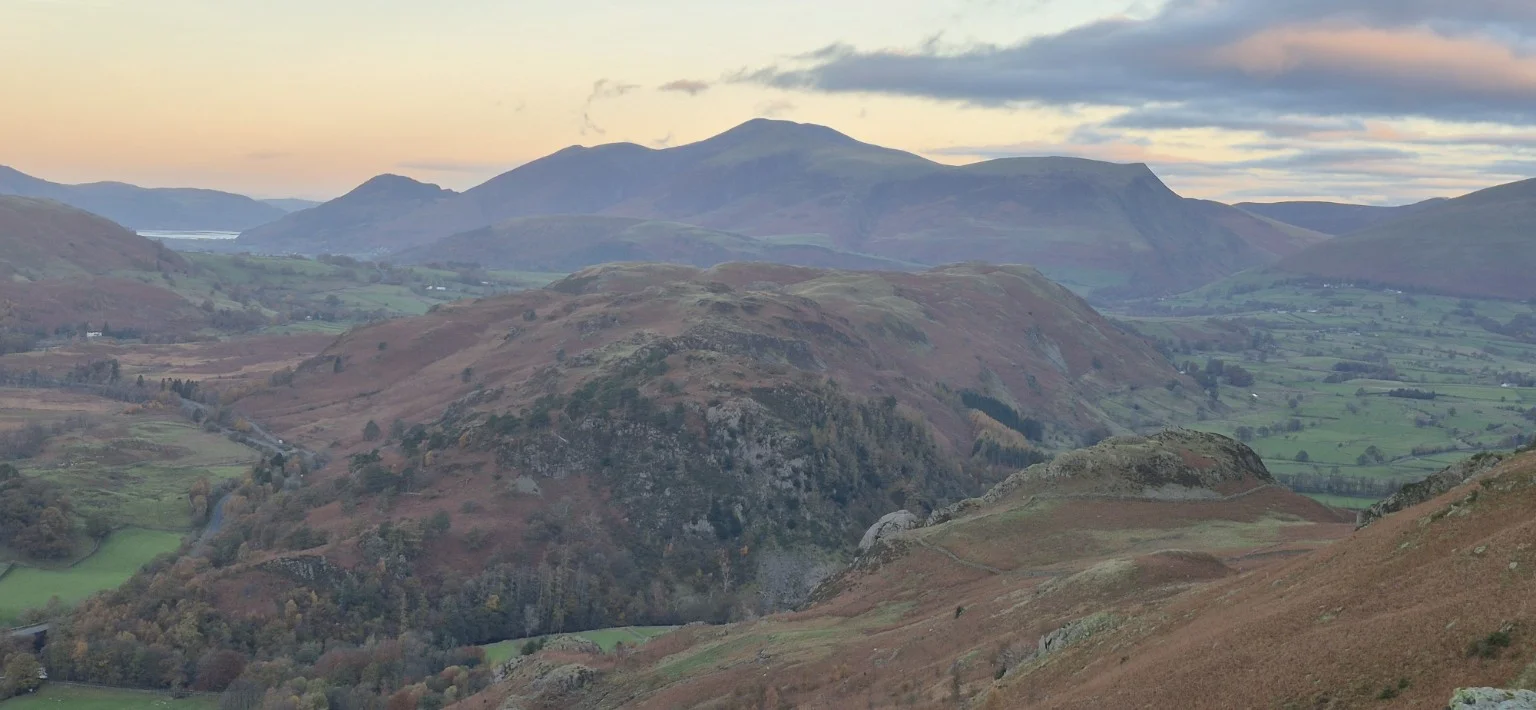
Helvellyn from Legburthwaite Lake District
Distance 11.58 miles
Difficulty Very hard
Route Circular A demanding mountain circular with stunning early views, summit gloom, Thirlmere scenery and a complaint from my knees.
Read the full report Dartmoor · 2026
Lane End to Kitty Tor West Dartmoor
Distance 11.18 miles
Difficulty Hard
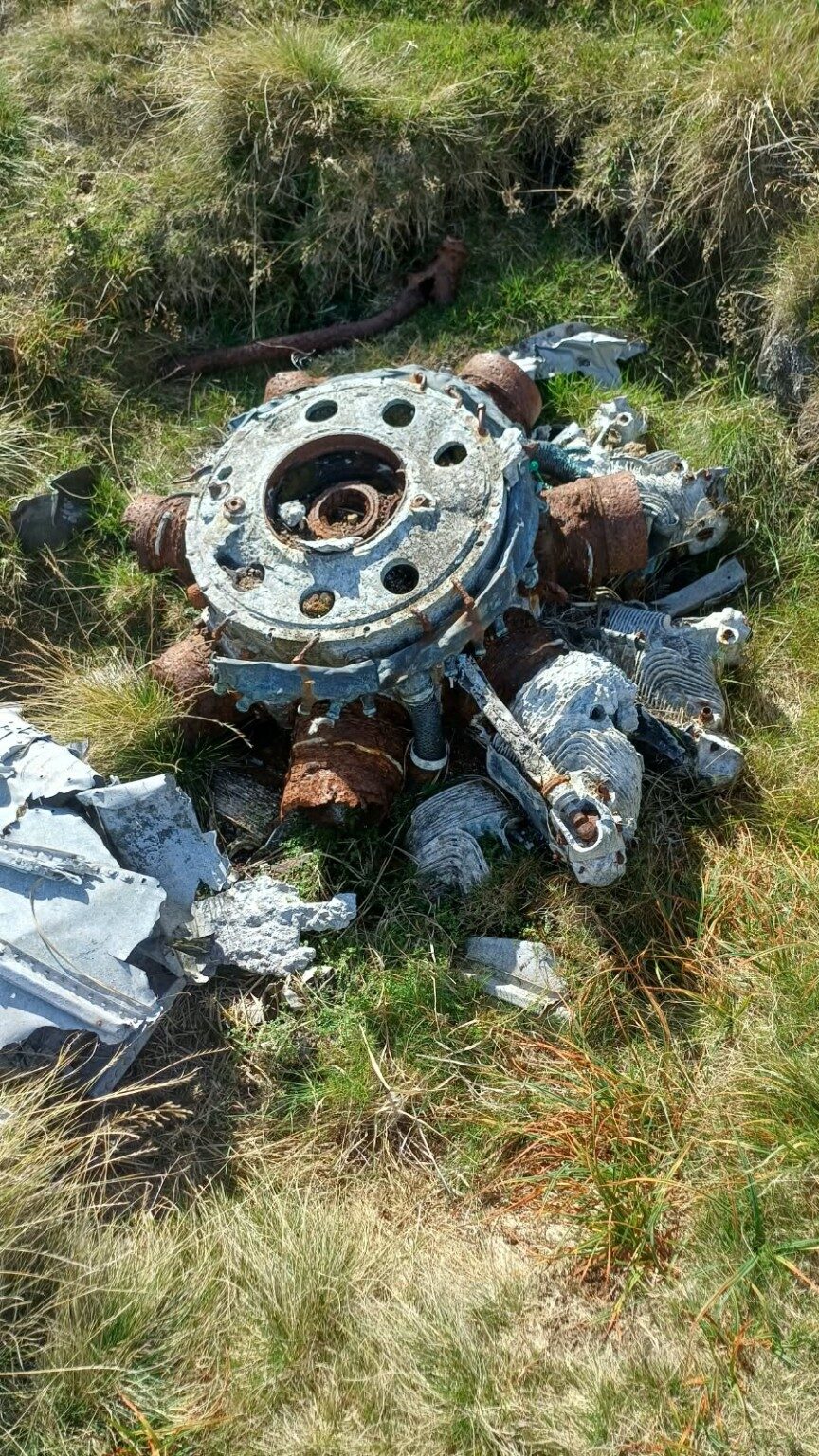
Route Circular A search for Second World War wreckage and the Kitty Tor memorial.
Read the full report Dartmoor · 2026
Bellever Forest to Fernworthy Central Dartmoor
Distance 13 miles
Difficulty Hard
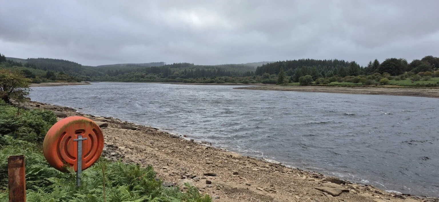
Route Circular Woodland, waterfalls, stone circles and fierce Dartmoor weather.
Read the full report Dartmoor · 2026
Willsworthy to High Willhays North Dartmoor
Distance 12.5 miles
Difficulty Hard
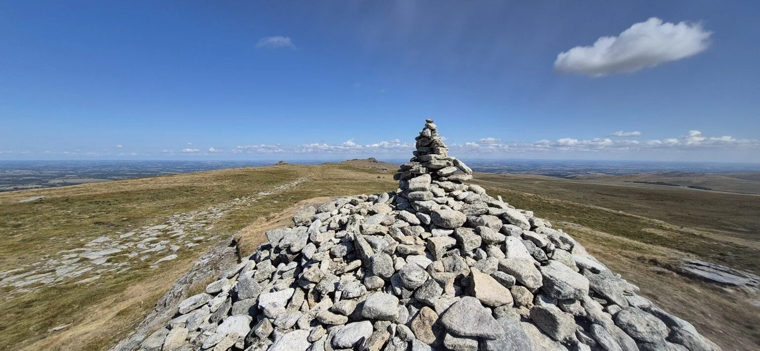
Route Circular Rivers, valleys and relentless hills to Dartmoor’s highest point.
Read the full report Dartmoor · 2026
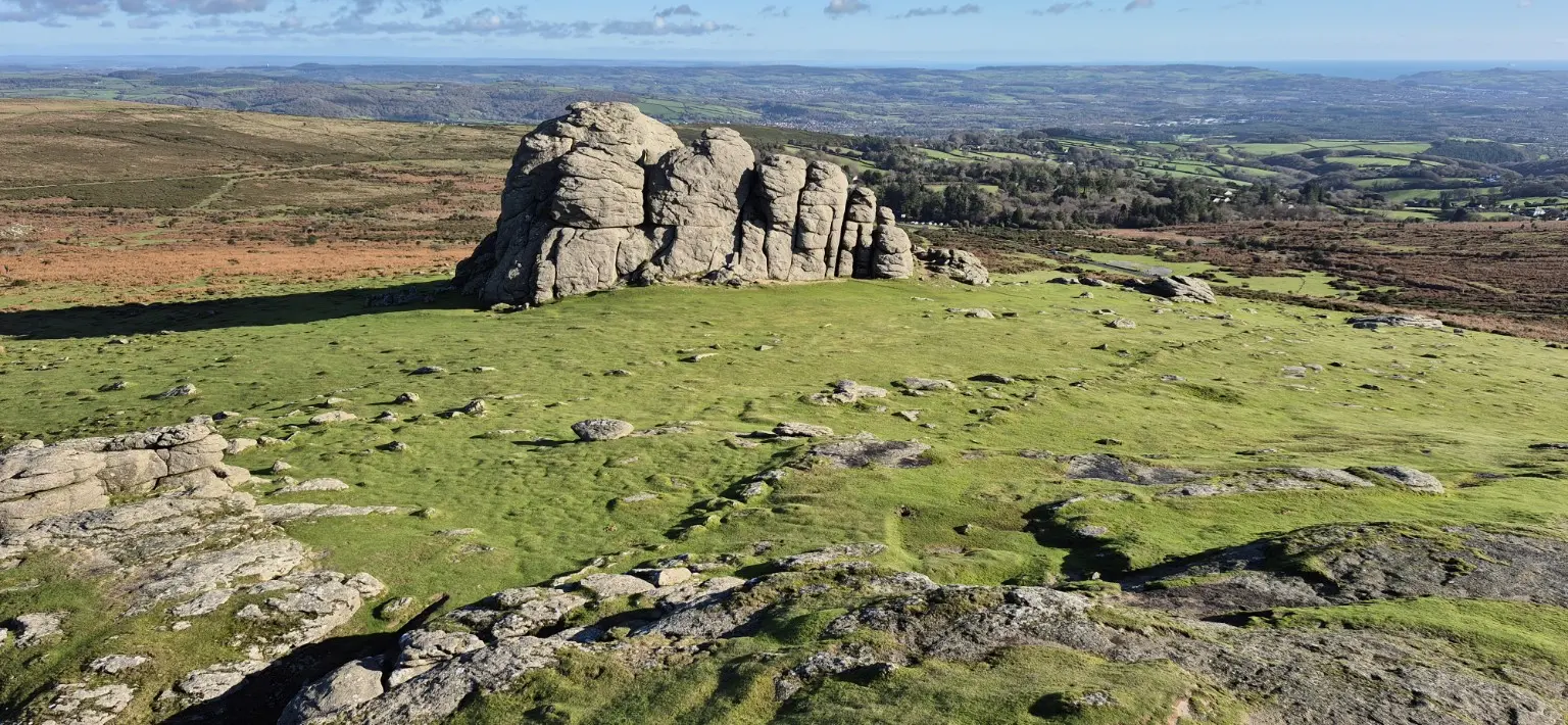
Sunrise at Haytor East Dartmoor
Distance 11.77 miles
Difficulty Hard
Route Circular An 11.77-mile sunrise circuit via Hound Tor, Grimspound and Widecombe, with quiet tors and ancient history.
Read the full report SW Coast Path · 2026
South Milton Sands to Salcombe — 13-mile circular walk South Devon
Distance 13 miles
Difficulty Hard
Route Circular Hope Cove, Bolt Tail and Salcombe, with a country-lane return via Malborough and Galmpton.
Read the full report SW Coast Path · 2026
Mullion Cove to Gunwalloe Cornwall
Distance 14 miles
Difficulty Hard
Route Circular A 14-mile circular via Poldhu and Church Cove, with coastal views and an eventful inland detour.
Read the full report SW Coast Path · 2026
Valley of Rocks via Hunters Inn North Devon
Distance 14.54 miles
Difficulty Hard
Route Circular Wild cliffs, strong winds, a pub stop and an accidental extension.
Read the full report Dartmoor · 2026
Norsworthy Bridge and Five Tors Burrator
Distance 10 miles
Difficulty Hard
Route Circular Stone rows, woodland and five granite tors with Age and Barry.
Read the full report Dartmoor · 2026
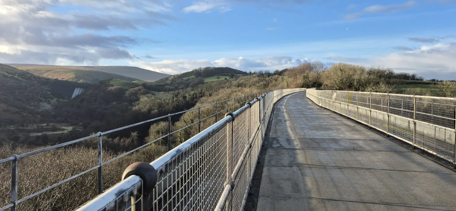
Okehampton to Sourton Tor via the Granite Way North Dartmoor
Distance About 12 miles
Difficulty Hard
Route Circular Meldon Viaduct, railway history, frozen ground and a boggy crossing of the high moor.
Read the full report Dartmoor · 2025
Buckland Beacon, Rippon Tor and Haytor Circular Eastern Dartmoor
Distance 10.25 miles
Difficulty Hard
Route Circular Cold winter sunshine, the Ten Commandments Stones, three granite tors, peaceful woodland and a hidden waterfall.
Read the full report SW Coast Path · 2025
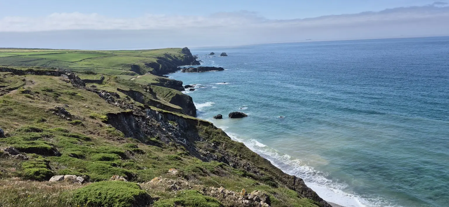
Kynance Cove to Cadgwith The Lizard, Cornwall
Distance 11 miles
Difficulty Moderate
Route Circular Sunny coast paths, Cadgwith and jungle-like vegetation.
Read the full report SW Coast Path · 2025
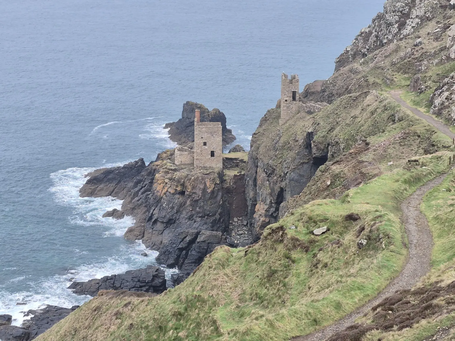
Geevor Tin Mine to Land’s End West Cornwall
Distance Approximately 11 miles
Difficulty Hard
Route Linear Mining country, Cape Cornwall, Sennen Cove and Land’s End.
Read the full report SW Coast Path · 2024
Porthleven to Penzance West Cornwall
Distance Around 14 miles
Difficulty Hard
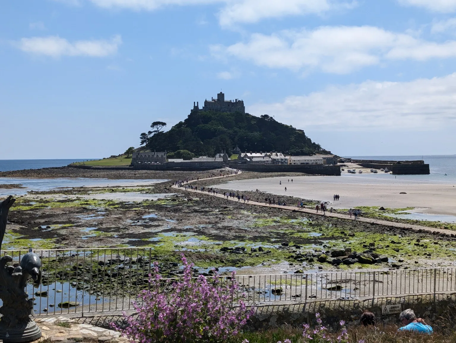
Route Linear Mining heritage, sea views and St Michael’s Mount on a six-and-a-half-hour walk.
Read the full report